

Hohwald BS 18 km

bstebe
Usuario

Longitud
14,3 km

Altitud máxima
1046 m

Desnivel positivo
547 m

Km-Effort
22 km

Altitud mínima
567 m

Desnivel negativo
548 m
Boucle
Sí
Fecha de creación :
2022-04-29 09:54:12.101
Última modificación :
2022-04-29 10:36:33.066
5h52
Dificultad : Muy difícil

Aplicación GPS de excursión GRATIS
A propósito
Ruta Senderismo de 14,3 km a descubrir en Gran Este, Bajo-Rin, Le Hohwald. Esta ruta ha sido propuesta por bstebe.
Descripción
Le Hohwald - Col du Kreuzweg - Chaume des Veaux - Auberge Hochfeld - Vieille métairie - La Rothlach - Neunstelstein - Le Hohwald
Localización
País:
France
Región :
Gran Este
Departamento/provincia :
Bajo-Rin
Municipio :
Le Hohwald
Localidad:
Unknown
Salida:(Dec)
Salida:(UTM)
376527 ; 5362625 (32U) N.
Comentarios
Excursiones cerca
2024-09-03_17h19m14_suuntoapp-HorsebackRiding-2024-09-03T08-25-34Z-track


Paseo ecuestre
Medio
Ottrott,
Gran Este,
Bajo-Rin,
France

18,8 km | 26 km-effort
3h 23min
Sí
suuntoapp-Hiking-2024-04-27T09-12-29Z


Senderismo
Medio
Le Hohwald,
Gran Este,
Bajo-Rin,
France

20 km | 31 km-effort
6h 58min
Sí
2019-12-28 Marche Reichsfeld Ungersberg Gruckert


Senderismo
Muy fácil
Reichsfeld,
Gran Este,
Bajo-Rin,
France

12,2 km | 20 km-effort
3h 5min
Sí

Tour du Hohwald


Senderismo
Medio
(1)
Le Hohwald,
Gran Este,
Bajo-Rin,
France

8 km | 11,3 km-effort
2h 26min
Sí

2013-12-29 Marche Mt Ste Odile Maennelstein Birkenfels


Senderismo
Medio
(1)
Ottrott,
Gran Este,
Bajo-Rin,
France

10,8 km | 15,4 km-effort
3h 24min
Sí
Hohwald - Rothlach - Neuntelstein


Senderismo
Medio
(1)
Le Hohwald,
Gran Este,
Bajo-Rin,
France

15,8 km | 22 km-effort
4h 28min
Sí
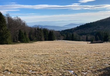
Champ du feu début


A pie
Fácil
Le Hohwald,
Gran Este,
Bajo-Rin,
France

6,8 km | 9,6 km-effort
2h 10min
No
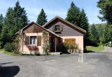
le hohwald, boucle "petite ceinture"


Senderismo
Fácil
(1)
Le Hohwald,
Gran Este,
Bajo-Rin,
France

3,4 km | 4,8 km-effort
55min
Sí
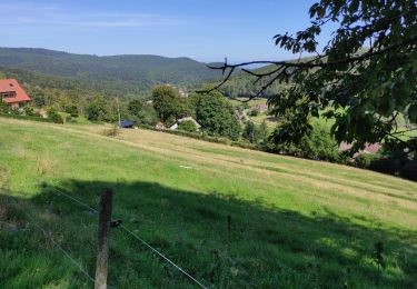
Hohwald (ter)


Senderismo
Difícil
Le Hohwald,
Gran Este,
Bajo-Rin,
France

11,2 km | 15,6 km-effort
3h 31min
Sí


 SityTrail


