


13 km | 18,5 km-effort


Usuario


Aplicación GPS de excursión GRATIS
 SityTrail
IGN / Institutos geográficos
SityTrail World
El mundo es suyo
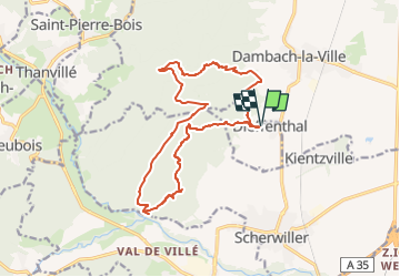
Ruta Senderismo de 15,6 km a descubrir en Gran Este, Bajo-Rin, Dieffenthal. Esta ruta ha sido propuesta por Gaëtan Isb.
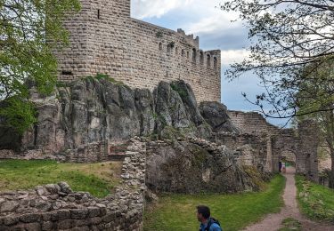
Cette boucle permet de faire 3 châteaux avec différents points de vue et de couper la grande boucle en passant par la vallée du Mittelrain.

Senderismo

Senderismo
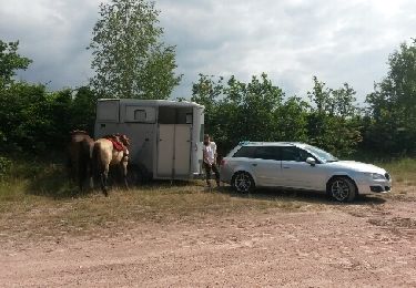
Caballo

Senderismo

Senderismo

Bici de montaña

Senderismo
Ruta
Senderismo