


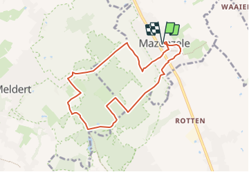

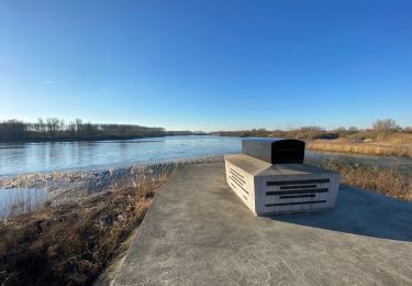
12,3 km | 14 km-effort

Usuario


Aplicación GPS de excursión GRATIS
 SityTrail
IGN / Institutos geográficos
SityTrail World
El mundo es suyo
Ruta Senderismo de 7,4 km a descubrir en Flandes, Brabante Flamenco, Opwijk. Esta ruta ha sido propuesta por ElGino.
Dorp verlaten via Geleyweg en dan rechts via Heydeweg richting Oude Heirbaan alwaar we rechts nemen en op kruising links richting bos. Via Huizekens richting domein Landgoed Haelterman via de Kravaalveldbaan waar we halfverwege links afslaan richting Terberglos. We volgen Tergerglos (schuin rechts afslaan van het pad) tot het 2e kruispunt (4 wegkruispunt met oa GR) en nemen links richting Groenedreef. WEg steigt ferm en het laatste lange rechte stuk, de Groenedreef, brengt ons in Mazenzele. Dit stuk ligt al volledig op Brabant. Parcours 4 km sluit aan bij het verlaten van bos. REchts links naar Bosstraat Mazenzele en vervolgens via Landbouwmuseum Vedderboom richting Dorp via Dries. wa 7,4 km


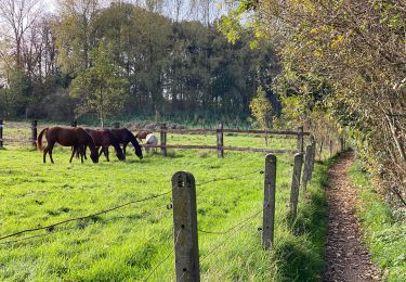
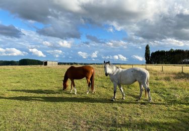
Paseo ecuestre
A pie
A pie

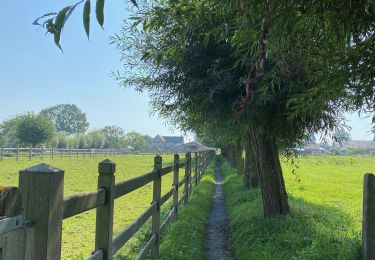
Senderismo
Senderismo
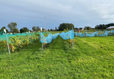
Senderismo
Senderismo
Senderismo
Senderismo