


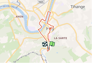

7,9 km | 10,7 km-effort


Usuario


Aplicación GPS de excursión GRATIS
 SityTrail
IGN / Institutos geográficos
SityTrail World
El mundo es suyo
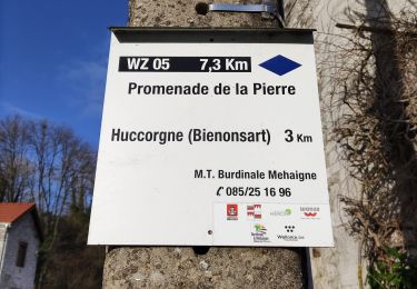
Ruta Senderismo de 5,6 km a descubrir en Valonia, Lieja, Huy. Esta ruta ha sido propuesta por PhilippeetEvelyne.
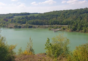
Promenade à travers la ville de Huy et ses vieilles rues, ses vieux édifices. Au début, vous marcherez sur une ligne de chemin de fer mais sans aucun danger car il s'agit d'une voie industrielle qui est très peu utilisée. Cependant vous devrez marcher en partie sur le ballast donc évitez les chaussures trop légères!

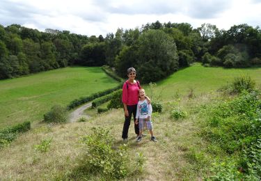
Senderismo
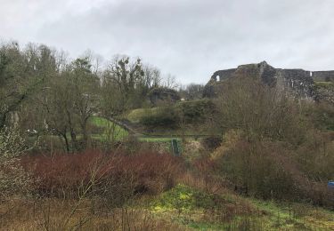
Senderismo
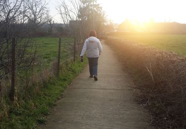
Senderismo

Senderismo
Senderismo

Senderismo
Senderismo
Senderismo