


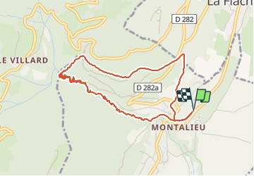


8,6 km | 16,2 km-effort

Usuario


Aplicación GPS de excursión GRATIS
 SityTrail
IGN / Institutos geográficos
SityTrail World
El mundo es suyo
Ruta Senderismo de 5,4 km a descubrir en Auvergne-Rhône-Alpes, Isère, Saint-Vincent-de-Mercuze. Esta ruta ha sido propuesta por phd04.
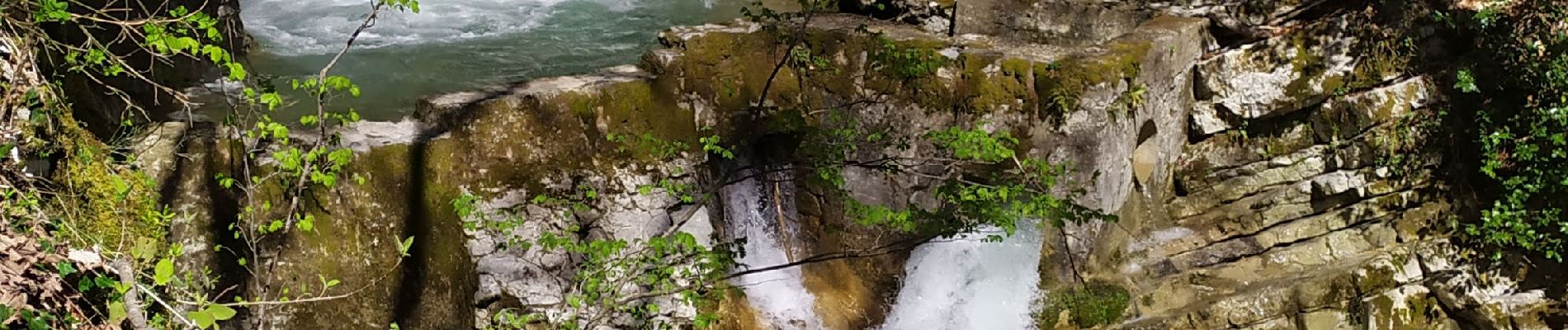
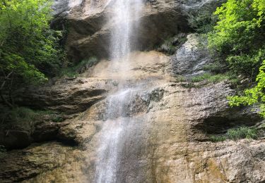
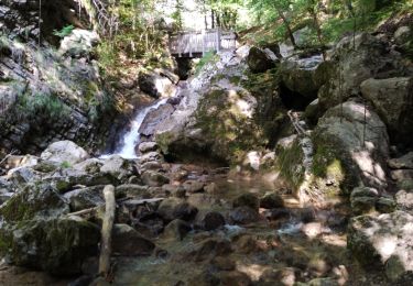
Belle randonnée sur les bords du ruisseau de l'Alloix avec de magnifiques cascades


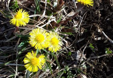
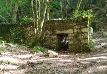
26 fotos en total. Haga clic en una foto para mostrarlas todas en la galería.

Senderismo

Senderismo

Senderismo

Senderismo

Senderismo
Senderismo
Senderismo
Senderismo
Senderismo