


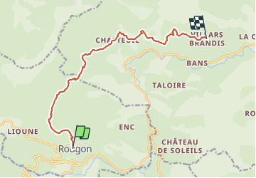

9,3 km | 18,6 km-effort


Usuario


Aplicación GPS de excursión GRATIS
 SityTrail
IGN / Institutos geográficos
SityTrail World
El mundo es suyo
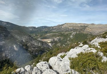
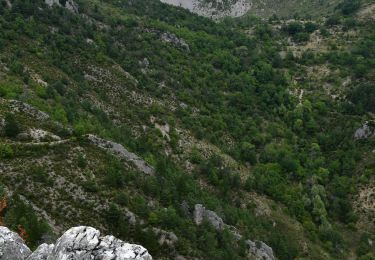
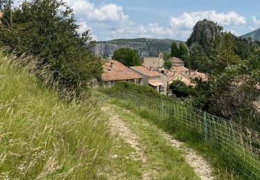
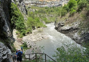
Ruta Senderismo de 12,7 km a descubrir en Provenza-Alpes-Costa Azul, Alpes de Alta Provenza, Rougon. Esta ruta ha sido propuesta por soca.
Rougon - GR4. GRE7 - Chapouplan Chasteuil - le vieux Chasteuil sous les Cadiéres de Brandis - St Jean - Villars Brandis

Senderismo

Senderismo

Senderismo

Senderismo

Senderismo
Senderismo
Senderismo
Senderismo
Senderismo