


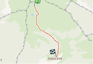

9,3 km | 21 km-effort


Usuario


Aplicación GPS de excursión GRATIS
 SityTrail
IGN / Institutos geográficos
SityTrail World
El mundo es suyo
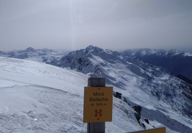
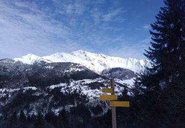
Ruta Esquí de fondo de 3,7 km a descubrir en Auvergne-Rhône-Alpes, Saboya, Montsapey. Esta ruta ha sido propuesta por jibebouvier.
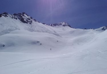
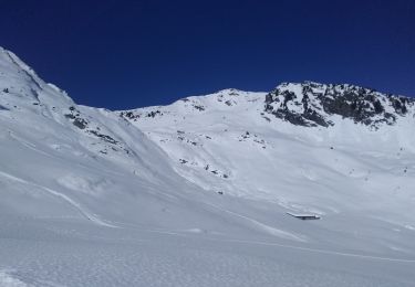
trop dur ;-) trop mou, trop tard, trop chaud, mais trop bien quand même !
Senderismo
Senderismo
Senderismo
Esquí de fondo
Esquí de fondo
Esquí de fondo
Esquí de fondo
Esquí de fondo
Esquí de fondo