


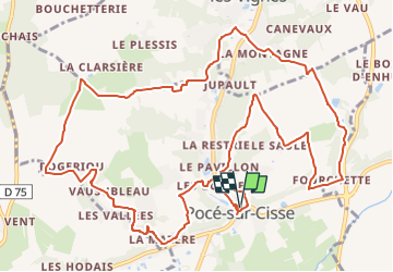

17,1 km | 21 km-effort


Usuario GUIDE


Aplicación GPS de excursión GRATIS
 SityTrail
IGN / Institutos geográficos
SityTrail World
El mundo es suyo
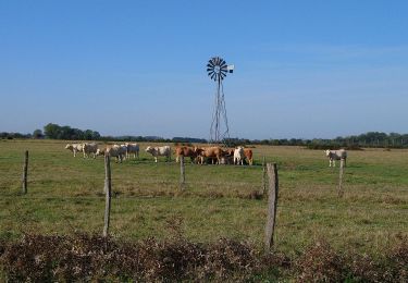
Ruta Senderismo de 14,9 km a descubrir en Centro, Indre y Loira, Pocé-sur-Cisse. Esta ruta ha sido propuesta por Orcal37.
Pocé-sur-Cisse - Sentier des 3 Vallées - 14.9km 225m 3h25 - 2022 03 26
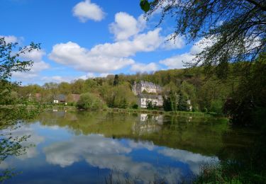
Eglise de Pocé. Lavoir de St-Ouen.


Senderismo

Senderismo
Senderismo
Senderismo
Senderismo

Senderismo

Senderismo

Senderismo

Senderismo