


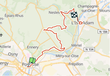


15,3 km | 18,6 km-effort


Usuario GUIDE


Aplicación GPS de excursión GRATIS
 SityTrail
IGN / Institutos geográficos
SityTrail World
El mundo es suyo
Ruta Senderismo de 32 km a descubrir en Isla de Francia, Valle del Oise, Pontoise. Esta ruta ha sido propuesta por chessyca.
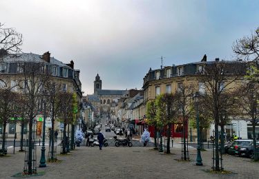
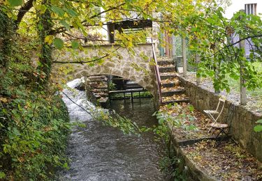
5 ème étape : une étape pour en prendre plein les yeux avec la pittoresque Auvers sur Oise et l'Isle Adam.
Un détour par Hérouville hors GR1 que nous n'avons pas trouvé forcément judicieux


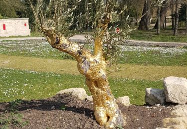
25 fotos en total. Haga clic en una foto para mostrarlas todas en la galería.
Senderismo

Carrera

A pie
A pie
A pie

Senderismo
Senderismo
Senderismo
Senderismo