


3,2 km | 5,1 km-effort

Usuario


Aplicación GPS de excursión GRATIS
 SityTrail
IGN / Institutos geográficos
SityTrail World
El mundo es suyo
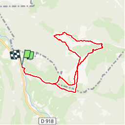
Ruta Senderismo de 9,2 km a descubrir en Occitania, Altos-Pirineos, Campan. Esta ruta ha sido propuesta por tracegps.
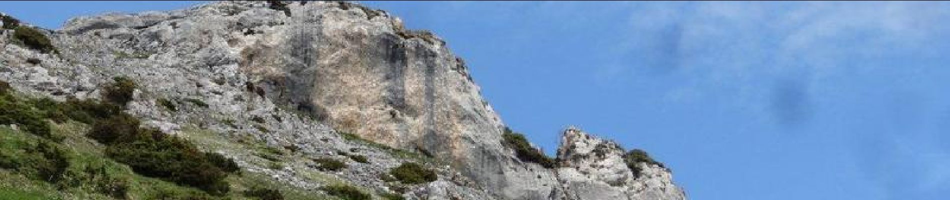
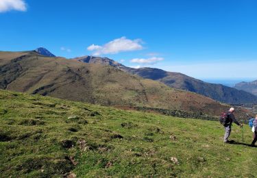
Départ du lieu-dit Estupas, après Saint-Marie-de-Campan sur la route de Payolle. D'entrée les pentes sont soutenues pour passer dans un premier temps aux granges du Mailhs. Ensuite on laisse au sud le Courtaou de Pla pour attaquer la montée vers l'abreuvoir de la Hount de Coustats. On bifurque ensuite pour passer en dessous des barres rocheuses du Carrot de Tour et de Pène Cerclade, pour rejoindre par une rude montée la ligne de crête qui nous mène d'abord au Pène Lise. Puis pour aboutir au Pène de Bédout, il faut naviguer sur les lapias en y mettant les mains de temps en temps. Au sommet, immense panorama où on distingue l'Anéto et toute la chaîne vers le sud, et au nord le Baronnies. Après un troisième sommet sans nom, descente tout schuss pour rejoindre l'abreuvoir de Coustats, pour passer au Courtaou de Pla et rejoindre les voitures après 6h d'un bon crapahute.


Senderismo

Senderismo
Senderismo

A pie
Senderismo

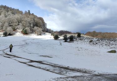
Raquetas de nieve
Senderismo
Senderismo
Senderismo