


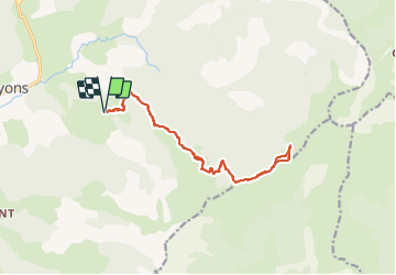

16,4 km | 33 km-effort

Usuario


Aplicación GPS de excursión GRATIS
 SityTrail
IGN / Institutos geográficos
SityTrail World
El mundo es suyo
Ruta Senderismo de 16,6 km a descubrir en Provenza-Alpes-Costa Azul, Alpes de Alta Provenza, Bayons. Esta ruta ha sido propuesta por PapouBertrand.
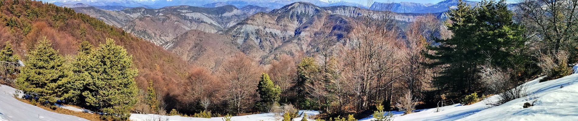
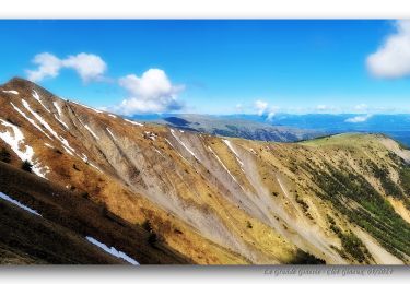
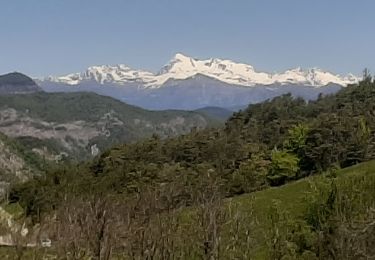
Belle rando avec 360 au sommet. Montée soutenue pour moitié en foret, itinéraire facile.


Senderismo
Senderismo

Senderismo
Senderismo
Senderismo
Senderismo

Paseo ecuestre
Senderismo
Senderismo