


23 km | 28 km-effort


Usuario


Aplicación GPS de excursión GRATIS
 SityTrail
IGN / Institutos geográficos
SityTrail World
El mundo es suyo
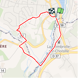
Ruta Senderismo de 3,4 km a descubrir en Centro, Indre y Loira, La Membrolle-sur-Choisille. Esta ruta ha sido propuesta por tracegps.
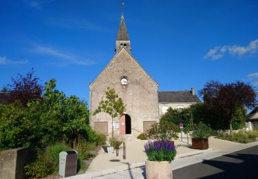
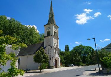
Départ du parking de l’église. Circuit sur de petites routes permettant des vues sur la vallée de la Choisille de St-Roch. Retrouvez la carte des circuits sur le site de la commune.


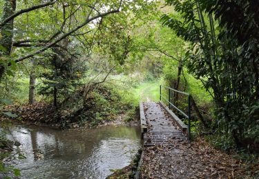
Senderismo
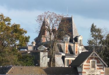
Senderismo
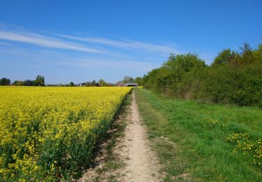
Senderismo
Senderismo
Senderismo
Senderismo
Senderismo
Senderismo

Senderismo