


23 km | 28 km-effort

Usuario


Aplicación GPS de excursión GRATIS
 SityTrail
IGN / Institutos geográficos
SityTrail World
El mundo es suyo
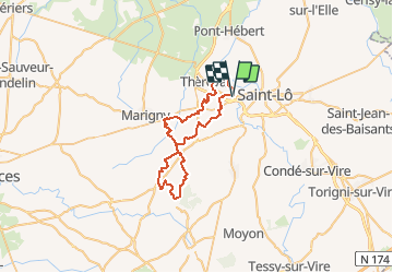
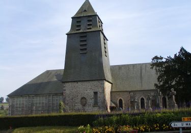
Ruta Bici de montaña de 44 km a descubrir en Normandía, Mancha, Agneaux. Esta ruta ha sido propuesta por tracegps.
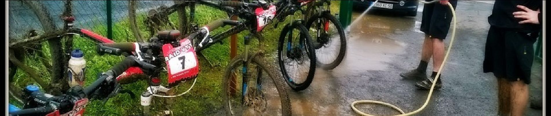
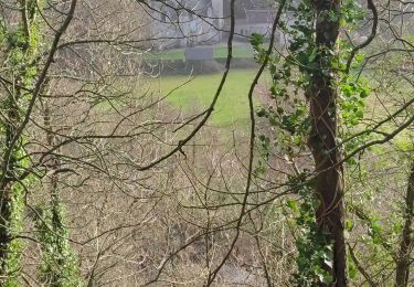
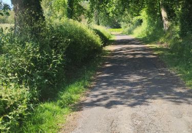
Si vous aimez les paysages normands et les circuits techniques, alors vous serez ravis. Ce circuit est fait pour vous avec de bonnes descentes à se faire plaisir, mais quand on dit descentes... bien techniques, bien sûr cela sous-entend montée aussi, avec de bonnes grimpettes à vous en mettre plein les jambes. Les singles track sont très bien tracés lorsque vous traversez les bois de Mingrey au 7km, vous arriverez sur St-Gilles avec quelques portions de route, mais rien de bien grave, juste faire attention. Au 14 km, les chemins de St-Leger vous ouvrent leur porte avec des zones bien humides dues aux fortes pluies de ces derniers mois avant d’arriver au 1er ravitaillement à Quibou. Du 17 au 22km, c’est la portion où les chemins sont assez difficiles et les crampes se font sentir mais je tiens bon, car nous ne sommes qu’à la moitié et les bois de Saint-Sauveur arrivent... dur dur!! Heureusement quelques portions de route sont là pour nous dégourdir les jambes. 30km ...Dangy montre le bout de son nez avant de remettre le couvert dans des portions de chemins assez costauds. La suite est plus tranquille avec un retour sur Quibou pour un second ravitaillement au même emplacement que le 1er avant de se diriger vers Canisy, et de finir sur Agneaux dans la zone commerciale devant le magasin VRC et en remerciant «les agnelets» pour ce super circuit bien technique, et qui en a mis plein les jambes à plusieurs d’entre nous. Alors qu’attendez vous ….....hop! hop! sur votre VTT et c’est parti !


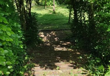
Bici de montaña
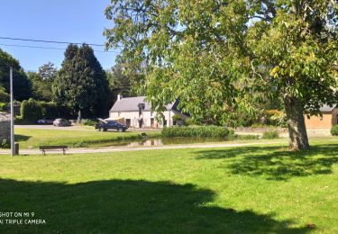
Senderismo
Senderismo
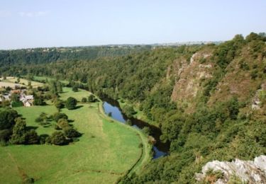
Senderismo
Senderismo
Senderismo
Senderismo
Caballo