


9,6 km | 11,8 km-effort

Usuario


Aplicación GPS de excursión GRATIS
 SityTrail
IGN / Institutos geográficos
SityTrail World
El mundo es suyo
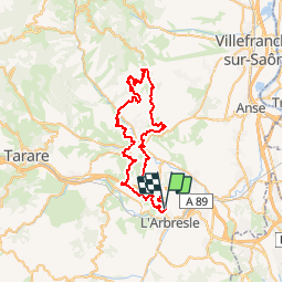
Ruta Bici de montaña de 56 km a descubrir en Auvergne-Rhône-Alpes, Ródano, Saint-Germain-Nuelles. Esta ruta ha sido propuesta por tracegps.
Parking et départ de la salle polyvalente. Saint-Germain-Nuelles est une nouvelle commune depuis le 1er janvier 2013. Elle regroupe les anciens villages de Saint-Germain-sur-l’Arbresle et de Nuelles. Comme toujours le parcours tracé par les organisateurs du « BSC Saint Germain » est EXTRAORDINAIRE et grand merci à eux de nous procurer un tel plaisir… Cette 7ème édition s’est déroulée le dimanche 6 avril 2014. Il y a peu de randonnées VTT avec autant de singles tracks et avec si peu de bitume... ce qui a le mérite d’être souligné. Tout comme le nom de cette rando l'indique, ce coin du Beaujolais est le paradis des vignes et des villages en pierres dorées (pierre ocre), plus beaux les uns que les autres (Bully, Sainte-Paule, Oingt, Bois d’Oingt, Bagnols, etc…). Mais attention c’est du lourd et du costaud. C'est un parcours qui démarre tranquillement et qui s’élève progressivement pour devenir technique, exigeant et très raide vers Sainte-Paule et au nord d’Oingt et du Bois-d’Oingt. Il faut être endurant et plutôt affuté pour ne pas y laisser des plumes… En garder un peu sous la semelle pour le final qui est assez relevé. Les VTTistes avides de sensations fortes seront servis !!! Je ne m'étendrai pas davantage sur ce circuit très réussi, alors grimpez sur vos VTT et partez à la découverte de cette boucle de rêve, avec l'appareil photo à portée de main tant les paysages sont remarquables. J’ai modifié le départ et le retour en passant par la route (car le jour J on part par les étangs qui sont normalement fermés par des barrières). Au cours de la randonnée, quelques passages dans le vignoble étaient signalés ouverts uniquement le jour de la randonnée. Respectez toute règle de courtoisie en cas de rappel à l’ordre. Topoguide : Circuits VTT des Pierres Dorées - Pays du Bois d'Oingt, 18 circuits sont proposés sur 18 communes différentes situées autour de Bagnols, Oingt et Theizé.
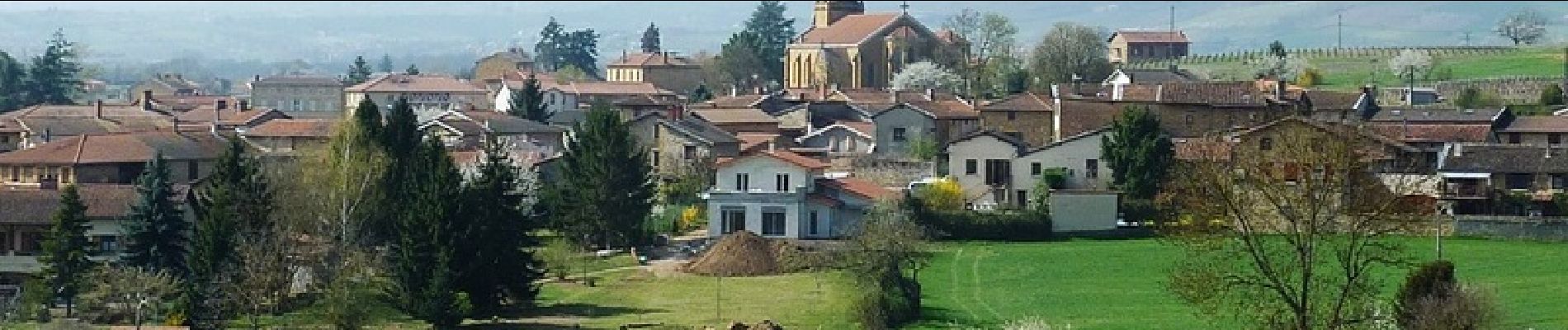
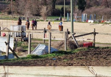
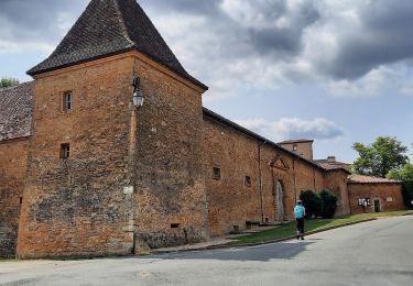
 - Saint Germain Nuelles - Photo 1")
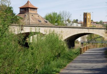
 - Saint Germain Nuelles - Photo 2")
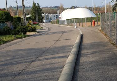
 - Saint Germain Nuelles - Photo 3")
 - Saint Germain Nuelles - Photo 4")
 - Saint Germain Nuelles - Photo 5")
 - Saint Germain Nuelles - Photo 6")
Senderismo
Senderismo

Paseo ecuestre

Senderismo
Senderismo
Senderismo
Senderismo

Senderismo
Senderismo