


7,7 km | 11,3 km-effort


Usuario


Aplicación GPS de excursión GRATIS
 SityTrail
IGN / Institutos geográficos
SityTrail World
El mundo es suyo
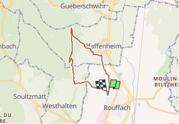
Ruta Senderismo de 10,6 km a descubrir en Gran Este, Alto Rin, Rouffach. Esta ruta ha sido propuesta por E.BURCK.
Au départ 210 m d'altitude
au maxi 500 m d'altitude
Avec les creux et les remontées, 360 m de dénivelé
11 km de marche

Senderismo

Senderismo
Senderismo

Bici de montaña
Senderismo

Senderismo

Senderismo
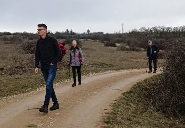
Senderismo
Senderismo