


8,2 km | 9,5 km-effort

Usuario


Aplicación GPS de excursión GRATIS
 SityTrail
IGN / Institutos geográficos
SityTrail World
El mundo es suyo
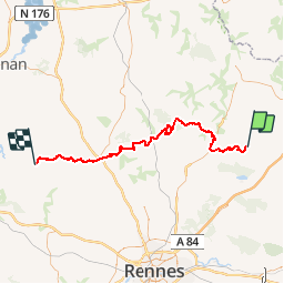
Ruta Caballo de 71 km a descubrir en Bretaña, Ille-et-Vilaine, Mézières-sur-Couesnon. Esta ruta ha sido propuesta por tracegps.
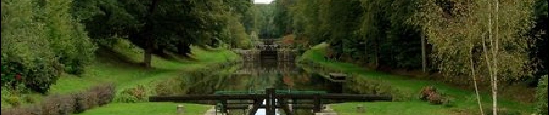
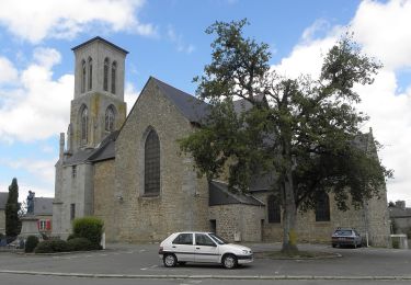
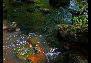
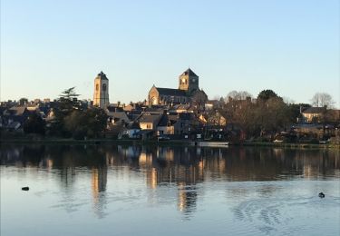
Canal d'Ille-et-Rance, Rigole, Boulet vous mèneront sur des secteurs avec une nature très préservée et des paysages bucoliques. Tantôt un patrimoine naturel diversifié, tantôt un patrimoine bâti où la pierre règne (cité du livre de Bécherel).


A pie
A pie

Senderismo
Senderismo
Senderismo
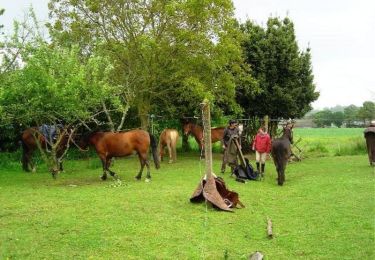
Caballo
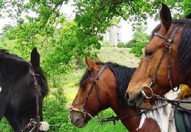
Caballo
Senderismo
Senderismo