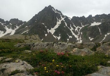
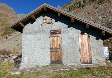
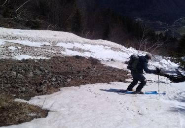
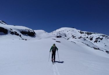
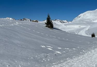
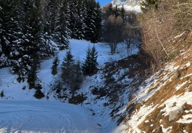
Excursión Senderismo Allemond - dessus allemand vers anc mine - Photo

dessus allemand vers anc mine

 ascq
ascq

Usuario

© OpenStreetMap contributors
Longitud
Longitud
8 km
Altitud máxima
Altitud máxima
1483 m
Desnivel positivo
Desnivel positivo
291 m
Km-Effort
Km-Effort  
11,8 km
Altitud mínima
Altitud mínima
1256 m
Desnivel negativo
Desnivel negativo
288 m
Boucle
Boucle
Fecha de creación :
2022-03-19 08:34:00.815
Última modificación :
2022-03-19 10:57:44.801

(0 Opinión)

Senderismo
Senderismo
2h23
Dificultad : Medio

Escanee este código QR para abrir la excursión en la aplicación SityTrail

Aplicación GPS de excursión GRATIS

Logo SityTrail SityTrail

IGN / Institutos geográficos

Descargar SityTrail en App Store Descargar SityTrail en Google Play

Logo SityTrail SityTrail World

El mundo es suyo

Descargar SityTrail en App Store Descargar SityTrail en Google Play Descargar SityTrail en Huawei AppGallery

A propósito

Ruta Senderismo de 8 km a descubrir en Auvergne-Rhône-Alpes, Isère, Allemond. Esta ruta ha sido propuesta por ascq.

Perfil altimétrico

Localización

País:
France
Región :
Auvergne-Rhône-Alpes
Departamento/provincia :
Isère
Municipio :
Allemond
Localidad:
Unknown
Salida:(UTM)
266228 ; 5002521 (32T) N.

Excursiones cerca

Excursión Senderismo Allemond - Lac de Belledonne - Photo
Senderismo
Noiraude

Senderismo

Medio
(1)
Allemond, Auvergne-Rhône-Alpes, Isère, France
13,4 km | 27 km-effort
6h 41min
Excursión Senderismo Allemond - allemond-les chalanches - Photo
Senderismo
maupassant38

Senderismo

Medio
(2)
Allemond, Auvergne-Rhône-Alpes, Isère, France
8,8 km | 18 km-effort
3h 47min
Excursión Esquí de fondo Huez - Pic de la Pyramide.  - Photo
Esquí de fondo
GUIDE
nadd73

Esquí de fondo

Difícil
Huez, Auvergne-Rhône-Alpes, Isère, France
17,8 km | 38 km-effort
5h 51min
No
Excursión Esquí de fondo Huez - Pic blanc par le tunnel - Photo
Esquí de fondo
GUIDE
nadd73

Esquí de fondo

Medio
Huez, Auvergne-Rhône-Alpes, Isère, France
16,6 km | 37 km-effort
5h 37min
Excursión Esquí de fondo Allemond - col PT 2459m près de la gde Lance d'Allemond - Photo
Esquí de fondo
GUIDE
nadd73

Esquí de fondo

Medio
Allemond, Auvergne-Rhône-Alpes, Isère, France
9,8 km | 26 km-effort
6h 5min
Excursión Esquí de fondo Huez - tentative col de la pyramide et tricotage vers les lacs - Photo
Esquí de fondo
GUIDE
nadd73

Esquí de fondo

Medio
Huez, Auvergne-Rhône-Alpes, Isère, France
17,4 km | 36 km-effort
7h 32min
Excursión Senderismo Allemond - Lac de Belledonne trace réelle - Photo
Senderismo
GUIDE
jouans

Senderismo

Muy difícil
Allemond, Auvergne-Rhône-Alpes, Isère, France
12,1 km | 24 km-effort
5h 33min
Excursión Senderismo Vaujany - Sabot Aiguillettes Couard Lac de la Fare 2800 trace réelle - Photo
Senderismo
GUIDE
jouans

Senderismo

Muy difícil
Vaujany, Auvergne-Rhône-Alpes, Isère, France
15,7 km | 34 km-effort
7h 47min
No
Excursión sport Allemond - Allemond et les hameaux  - Photo
sport
GUIDE
jouans

sport

Muy fácil
Allemond, Auvergne-Rhône-Alpes, Isère, France
8,9 km | 16 km-effort
Desconocido


Cerrar
Mis suscripciones