


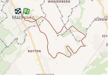


12,3 km | 14 km-effort


Usuario


Aplicación GPS de excursión GRATIS
 SityTrail
IGN / Institutos geográficos
SityTrail World
El mundo es suyo
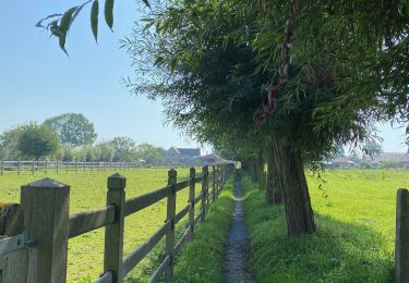
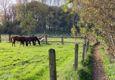
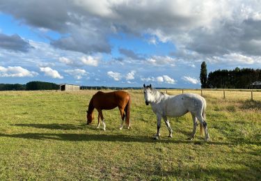
Ruta Senderismo de 9,1 km a descubrir en Flandes, Brabante Flamenco, Opwijk. Esta ruta ha sido propuesta por ElGino.
Mazenzele dorp via Bladerenkwartier naar Kartelo waar een lus gemaakt wordt in het bos. Vervolgens naar Geboortebos en via Dries naar Mazenzele Dorp wa 9 km


Paseo ecuestre
A pie
A pie

Senderismo
Senderismo
Senderismo
Senderismo
Senderismo
Senderismo