


13 km | 20 km-effort

Usuario


Aplicación GPS de excursión GRATIS
 SityTrail
IGN / Institutos geográficos
SityTrail World
El mundo es suyo
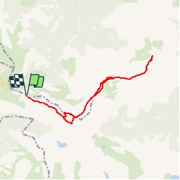
Ruta Senderismo de 14,4 km a descubrir en Occitania, Altos-Pirineos, Beaucens. Esta ruta ha sido propuesta por tracegps.
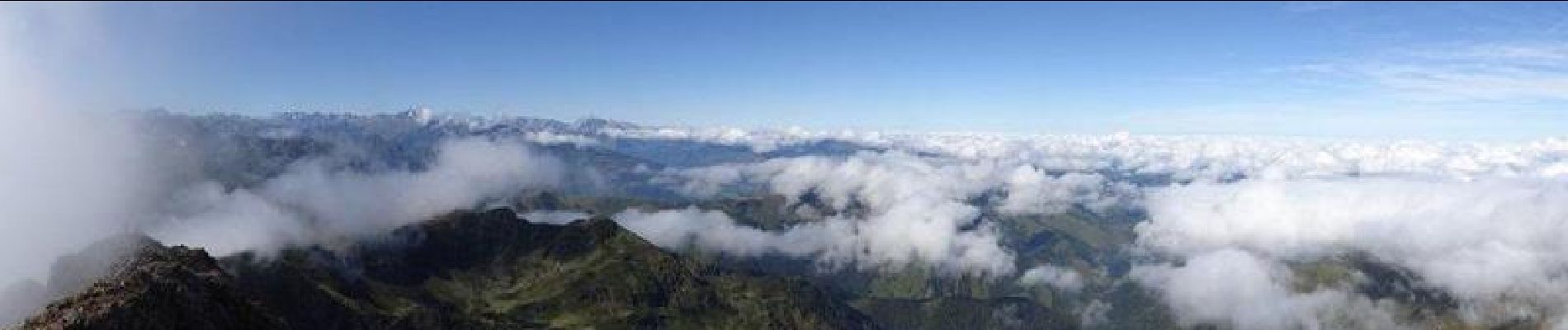
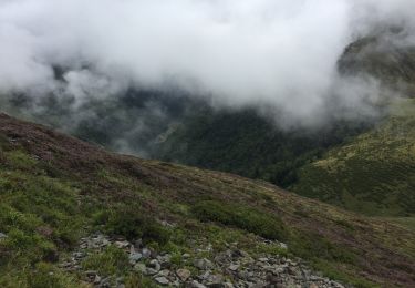
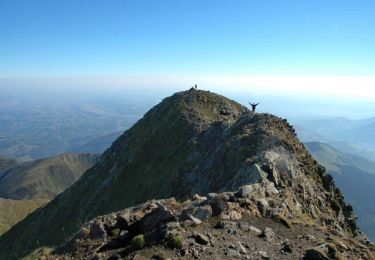
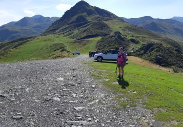
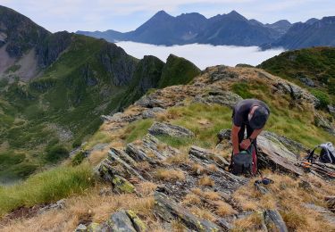
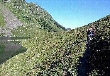
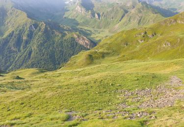
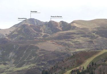
Départ du col de Moulata à Hautacam. On passe en dessous du Pic de Barran, puis par le col de Barran pour aboutir au col des Rosques au pied des crêtes de Penas de Barran. Au delà les pentes deviennent plus sévères. Les derniers cinquante mètres se font sur l'arrête sommitale finale où il faut s'aider des mains, mais avec de nombreuses prises. Ce passage demande une attention soutenue car il y a du "gaz" de part et d'autre. Au sommet vaste panorama sur la plaine et les sommets environnants et le Pic du Midi tout proche. Retour par le même chemin jusqu'au col des Rosques puis montée sur les crêtes jusqu'au col de Barran.


Senderismo
Senderismo
Senderismo
Senderismo
Senderismo
Senderismo
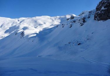
Raquetas de nieve

Raquetas de nieve
Senderismo