


13,7 km | 22 km-effort

Usuario


Aplicación GPS de excursión GRATIS
 SityTrail
IGN / Institutos geográficos
SityTrail World
El mundo es suyo
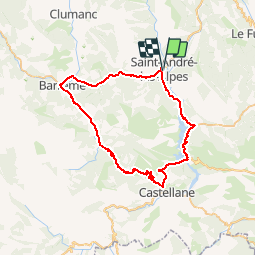
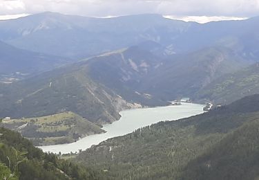
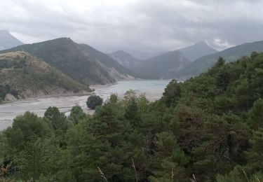
Ruta Bicicleta de 57 km a descubrir en Provenza-Alpes-Costa Azul, Alpes de Alta Provenza, Saint-André-les-Alpes. Esta ruta ha sido propuesta por tracegps.
Ce circuit vous est proposé par l'Office de Tourisme de Saint-André Les Alpes. Départ de l'office de Tourisme, place Marcel Pastorelli. Prendre la direction du barrage de Castillon-Demandolx, puis Castellane. Avant celle-ci, au niveau de La Cébière (743m), prendre la Voie impériale (N 85) vers le col des Lèques (1146m, 403 m de dénivelé). De là, 15 km de descente pour rejoindre Barrême (721m) et de nouveau une «petite» montée de 12 km pour atteindre le col des Robines (988m) où vous attend une descente vers St André-les-Alpes.


Senderismo
Bicicleta
Senderismo
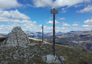
Senderismo
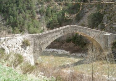
Senderismo
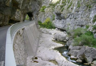
Senderismo
Senderismo
Bicicleta
Bicicleta