![](/images/other/stat-length.png)
![Excursión Senderismo Ploumilliau - GR 34® de Lannion à Locquirec - Photo](https://media.geolcdn.com/t/1900/400/ext.pjpeg?maxdim=2&url=https%3A%2F%2Fservices.sitytrail.com%2FGeolivesWS%2FDownloadMedia.ashx%3FTrailID%3D316676%26Media%3D3803_1.jpg)
GR 34® de Lannion à Locquirec
tracegps
Usuario
![Longitud](/images/other/stat-length.png)
![Altitud máxima](https://static1.geolcdn.com/siteimages/upload/files/1508320355ic_sort_altitude_max_24dp.png)
![Desnivel positivo](https://static1.geolcdn.com/siteimages/upload/files/1508320355ic_sort_den_pos_24dp.png)
![Km-Effort](/images/other/stat-length.png)
![Altitud mínima](https://static1.geolcdn.com/siteimages/upload/files/1508320355ic_sort_altitude_min_24dp.png)
![Desnivel negativo](https://static1.geolcdn.com/siteimages/upload/files/1508320355ic_sort_den_neg_24dp.png)
![Boucle](https://static1.geolcdn.com/siteimages/upload/files/16400158638029165_repeat_loop_refresh_sync_direction_icon.png)
![Senderismo](https://static1.geolcdn.com/sitytour/trail-icons/101.png)
7h30
Dificultad : Difícil
![Escanee este código QR para abrir la excursión en la aplicación SityTrail](https://capi.geolives.com/qq0zvz2zws4bq2lad0pu/sitytour/trails/316676/qr.png?size=200)
Aplicación GPS de excursión GRATIS
A propósito
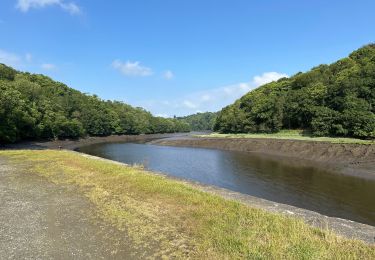
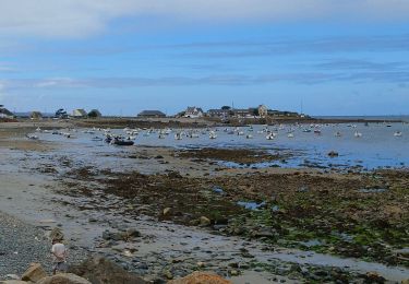
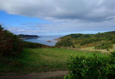
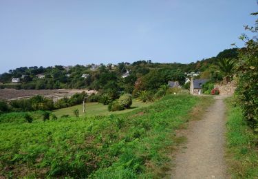
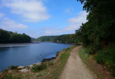
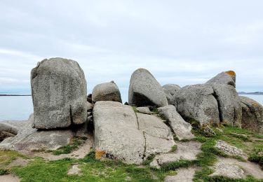
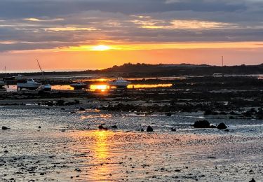
Ruta Senderismo de 33 km a descubrir en Bretaña, Côtes-d'Armor, Ploumilliau. Esta ruta ha sido propuesta por tracegps.
Descripción
GR34® Côte de Granit Rose GR 34® de Lannion à Locquirec Vous trouverez le descriptif détaillé de cette randonnée dans le Topo-guide® de la Fédération Française de la Randonnée Pédestre. Le découpage proposé ici est donné à titre indicatif pour équilibrer la distance de chaque tronçon. Chacun peut l’adapter à son niveau.
Localización
Comentarios
Excursiones cerca
![Excursión Senderismo Ploulec'h - le Yaudet - GR34 Locquémeau - 9.4km 220m 2h30 - 2023 09 11 - Photo](https://media.geolcdn.com/t/375/260/2eeb17d1-bab0-475d-9575-f8db3e07c699.jpg&format=jpg&maxdim=2)
![Senderismo Senderismo](https://static1.geolcdn.com/sitytour/trail-icons/101.png)
Senderismo
![](/images/other/stat-length.png)
![](https://static1.geolcdn.com/siteimages/upload/files/16400158638029165_repeat_loop_refresh_sync_direction_icon.png)
![Excursión Senderismo Lannion - Lannion-Locquemeau - 23,7 km - Photo](https://media.geolcdn.com/t/375/260/c929d87b-401c-42b3-8d62-d85406719e8b.jpg&format=jpg&maxdim=2)
![Senderismo Senderismo](https://static1.geolcdn.com/sitytour/trail-icons/101.png)
Senderismo
![](/images/other/stat-length.png)
![](https://static1.geolcdn.com/siteimages/upload/files/16400158638029165_repeat_loop_refresh_sync_direction_icon.png)
![Excursión Senderismo Trédrez-Locquémeau - Locquémeau - GR34 Trédez - 12km 210m 3h30 (40mn) - 2023 09 12 - Photo](https://media.geolcdn.com/t/375/260/d045c6d2-b69e-45a3-8904-ac3f903b1140.jpg&format=jpg&maxdim=2)
![Senderismo Senderismo](https://static1.geolcdn.com/sitytour/trail-icons/101.png)
Senderismo
![](/images/other/stat-length.png)
![](https://static1.geolcdn.com/siteimages/upload/files/16400158638029165_repeat_loop_refresh_sync_direction_icon.png)
![Excursión Senderismo Lannion - Leguivy-lès-Lannion - GR34 le Yaudet - 11.6km 260m 3h20 (45mn) - 2023 09 11 - Photo](https://media.geolcdn.com/t/375/260/f9c6e175-51fe-444f-bd9b-227682a0921b.jpg&format=jpg&maxdim=2)
![Senderismo Senderismo](https://static1.geolcdn.com/sitytour/trail-icons/101.png)
Senderismo
![](/images/other/stat-length.png)
![](https://static1.geolcdn.com/siteimages/upload/files/16400158638029165_repeat_loop_refresh_sync_direction_icon.png)
![Excursión Senderismo Trébeurden - Trébeurden - Trozoul GR34 Chapelles Église - 11.1km 200m 3h15 - 2023 09 04 - Photo](https://media.geolcdn.com/t/375/260/92fcd3d2-b378-46b0-9471-502f8724784a.jpg&format=jpg&maxdim=2)
![Senderismo Senderismo](https://static1.geolcdn.com/sitytour/trail-icons/101.png)
Senderismo
![](/images/other/stat-length.png)
![](https://static1.geolcdn.com/siteimages/upload/files/16400158638029165_repeat_loop_refresh_sync_direction_icon.png)
![Excursión Senderismo Trébeurden - Trébeurden - Porz Mabo GR34 - 6.6km 165m 1h50 (40mn) - 2023 09 04 - Photo](https://media.geolcdn.com/t/375/260/4f4a5121-d670-4014-a780-e42da8e62161.jpg&format=jpg&maxdim=2)
![Senderismo Senderismo](https://static1.geolcdn.com/sitytour/trail-icons/101.png)
Senderismo
![](/images/other/stat-length.png)
![](https://static1.geolcdn.com/siteimages/upload/files/16400158638029165_repeat_loop_refresh_sync_direction_icon.png)
![Excursión Senderismo Trébeurden - Trébeurden - Croaz Golo GR34A GR34 - 15.1km 320m 4h15 (50mn) - 2023 09 03 - Photo](https://media.geolcdn.com/t/375/260/1a08cc2b-a6d7-4306-885a-2253f395737e.jpg&format=jpg&maxdim=2)
![Senderismo Senderismo](https://static1.geolcdn.com/sitytour/trail-icons/101.png)
Senderismo
![](/images/other/stat-length.png)
![](https://static1.geolcdn.com/siteimages/upload/files/16400158638029165_repeat_loop_refresh_sync_direction_icon.png)
![Excursión Senderismo Trédrez-Locquémeau - Bretagne nord J7 / De Locquémeau à Lannion - Photo](https://media.geolcdn.com/t/375/260/8aae618b-25b0-4c49-81a5-2065b569b6ca.jpg&format=jpg&maxdim=2)
![Senderismo Senderismo](https://static1.geolcdn.com/sitytour/trail-icons/101.png)
Senderismo
![](/images/other/stat-length.png)
![](https://static1.geolcdn.com/siteimages/upload/files/16400158638029165_repeat_loop_refresh_sync_direction_icon.png)
![Excursión Senderismo Saint-Michel-en-Grève - Bretagne nord J6pm : St Michel en Grève - Locquémau - Photo](https://media.geolcdn.com/t/375/260/5addfac7-c616-4bd4-a226-cf31118124b4.jpg&format=jpg&maxdim=2)
![Senderismo Senderismo](https://static1.geolcdn.com/sitytour/trail-icons/101.png)
Senderismo
![](/images/other/stat-length.png)
![](https://static1.geolcdn.com/siteimages/upload/files/16400158638029165_repeat_loop_refresh_sync_direction_icon.png)