


7,3 km | 9,5 km-effort


Usuario


Aplicación GPS de excursión GRATIS
 SityTrail
IGN / Institutos geográficos
SityTrail World
El mundo es suyo
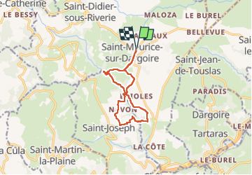
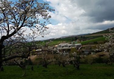
Ruta Senderismo de 10,5 km a descubrir en Auvergne-Rhône-Alpes, Ródano, Chabanière. Esta ruta ha sido propuesta por jtraverse.
GPS : 45°34'58.2"N 4°37'55.1"E ou 45.582839, 4.631960
Parking de l'église , Rue de Verdun, 69440 Chabanière
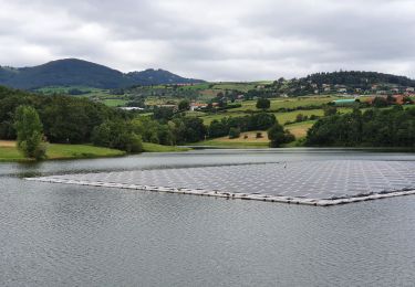
Senderismo

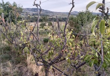
Senderismo

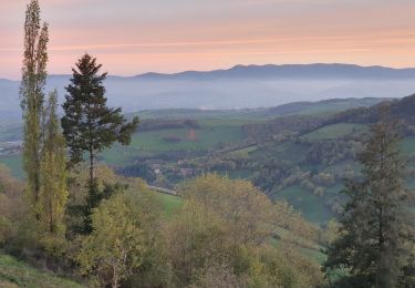
Senderismo

Senderismo

Senderismo
Senderismo

Senderismo
Senderismo
Senderismo