


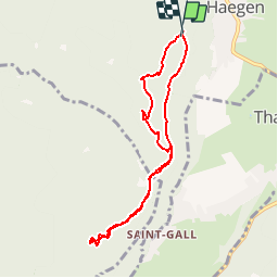


15,4 km | 19,9 km-effort


Usuario


Aplicación GPS de excursión GRATIS
 SityTrail
IGN / Institutos geográficos
SityTrail World
El mundo es suyo
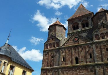
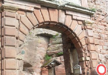
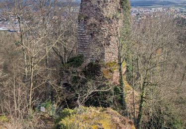
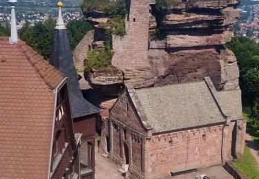
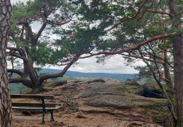
Ruta Senderismo de 7,3 km a descubrir en Gran Este, Bajo-Rin, Haegen. Esta ruta ha sido propuesta por fbertrand.
depuis la table des sorcières, le tour du brotsch, le rocher et la grotte du brotch, le scheferplatz, le rocher du hibou et retour à la table des sorcières


Senderismo
Bici de montaña
Senderismo
Senderismo

Senderismo
Senderismo

Senderismo
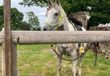
Paseo ecuestre
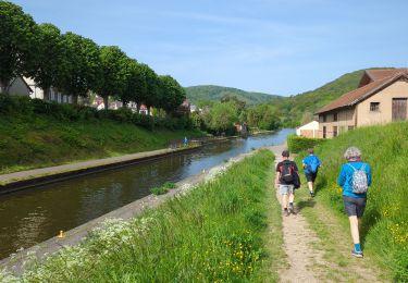
Senderismo