


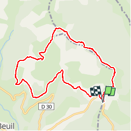


4,3 km | 6,6 km-effort

Usuario


Aplicación GPS de excursión GRATIS
 SityTrail
IGN / Institutos geográficos
SityTrail World
El mundo es suyo
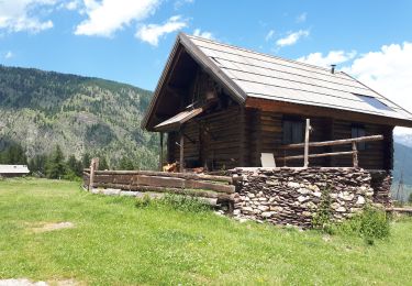
Ruta Senderismo de 10,9 km a descubrir en Provenza-Alpes-Costa Azul, Alpes Marítimos, Roubion. Esta ruta ha sido propuesta por jean.marie.litzler@gmail.com.
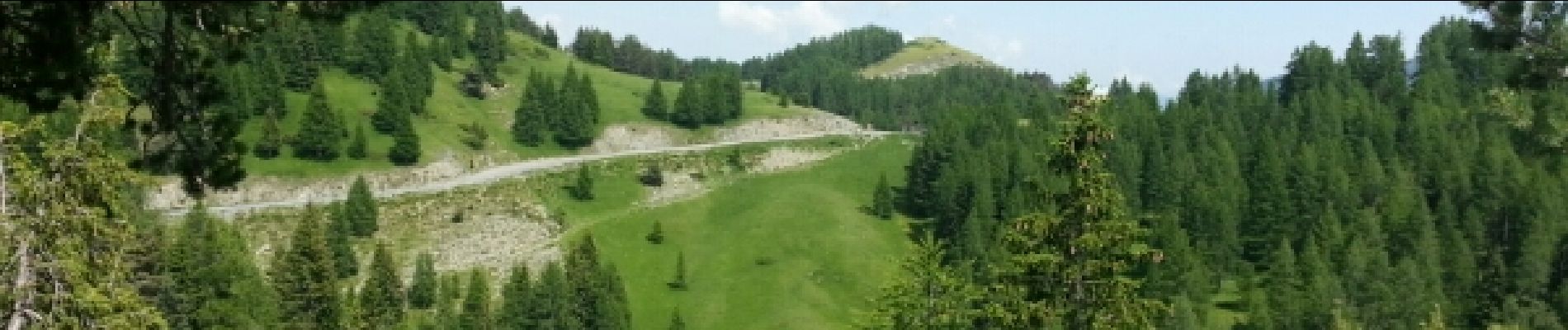
très diversifié avec sous bois, prairies, alpages


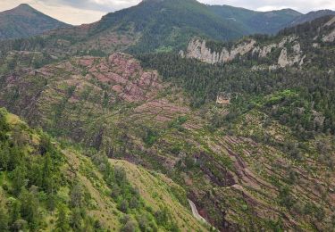
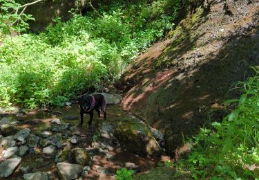
38 fotos en total. Haga clic en una foto para mostrarlas todas en la galería.

Raquetas de nieve

A pie

A pie

Senderismo

Raquetas de nieve

Senderismo
Senderismo
Senderismo
Senderismo