


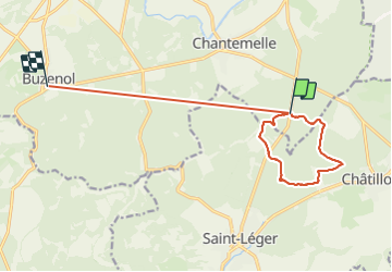

12,6 km | 16,2 km-effort


Usuario


Aplicación GPS de excursión GRATIS
 SityTrail
IGN / Institutos geográficos
SityTrail World
El mundo es suyo
Ruta Senderismo de 12,2 km a descubrir en Valonia, Luxemburgo, Étalle. Esta ruta ha sido propuesta por Olivier Degimbe.
Superbes et variés sentiers forestiers en passant par le Fourneau David. Possibilité d’étendre via le trou du perou et le parc naturel de la sablière
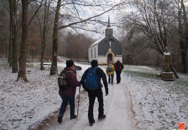
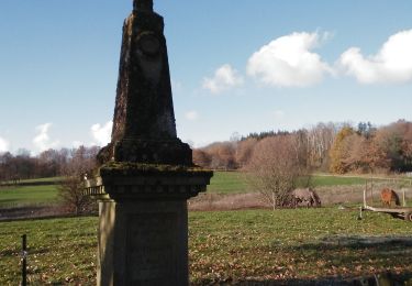
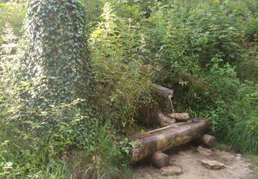
Senderismo

Bici de montaña

Senderismo
Senderismo

Senderismo
Senderismo

A pie

A pie
Bici de montaña