


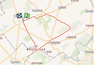

12,6 km | 15,6 km-effort

Usuario


Aplicación GPS de excursión GRATIS
 SityTrail
IGN / Institutos geográficos
SityTrail World
El mundo es suyo
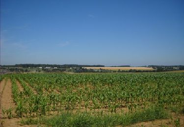
Ruta Senderismo de 12,6 km a descubrir en Valonia, Namur, Ohey. Esta ruta ha sido propuesta por JEANMINNE.
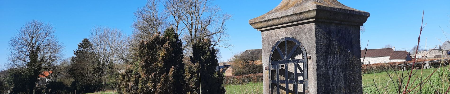
Chapelle St-Hubert-La Bouchaille-Les Wallons-Les Comognes-La Sartaine-Campagne de Jallet- Matagne-Winglet-Chapelle St-Hubert.


Senderismo

Senderismo

Senderismo

Senderismo

Senderismo

Senderismo
Senderismo
Senderismo
Senderismo