


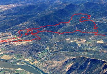
14,4 km | 20 km-effort

Usuario


Aplicación GPS de excursión GRATIS
 SityTrail
IGN / Institutos geográficos
SityTrail World
El mundo es suyo
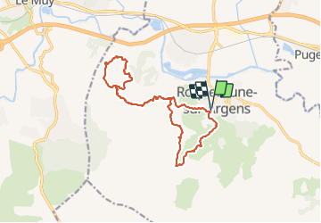
Ruta Senderismo de 16,9 km a descubrir en Provenza-Alpes-Costa Azul, Var, Roquebrune-sur-Argens. Esta ruta ha sido propuesta por Christiancordin.
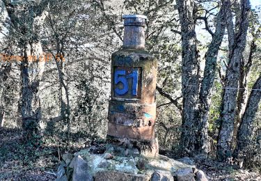
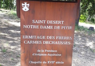
Roquebrune sur Argens-les 25 ponts-ravin de la Maurette-GR 51-les 3 croix-troglodytes-GR 51.


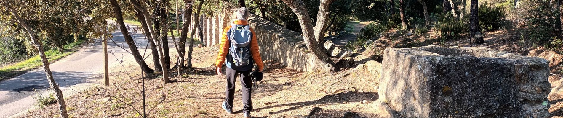
Senderismo

Senderismo

A pie

Senderismo
Senderismo
Senderismo
A pie
Senderismo
Senderismo