


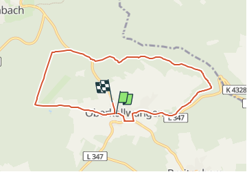

5,3 km | 6,5 km-effort


Tous les sentiers balisés d’Europe GUIDE+


Aplicación GPS de excursión GRATIS
 SityTrail
IGN / Institutos geográficos
SityTrail World
El mundo es suyo
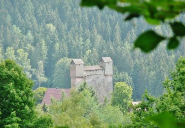
Ruta A pie de 8,3 km a descubrir en Baden-Wurtemberg, Landkreis Calw, Neuweiler. Esta ruta ha sido propuesta por SityTrail - itinéraires balisés pédestres.
need to be verified in eastern part
A pie
A pie
A pie
A pie
A pie
A pie
A pie

A pie
A pie