


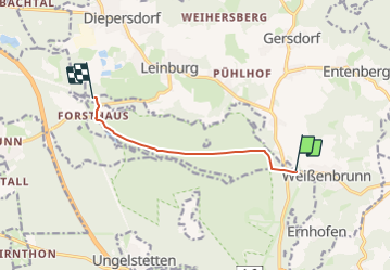

10,8 km | 14,8 km-effort


Tous les sentiers balisés d’Europe GUIDE+


Aplicación GPS de excursión GRATIS
 SityTrail
IGN / Institutos geográficos
SityTrail World
El mundo es suyo
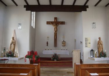
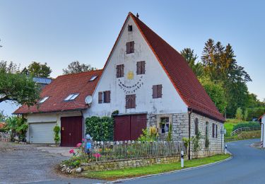
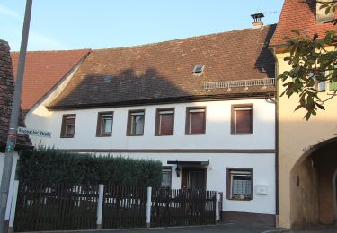
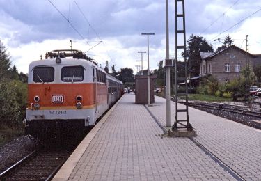
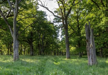
Ruta A pie de 5,8 km a descubrir en Baviera, Landkreis Nürnberger Land, Leinburg. Esta ruta ha sido propuesta por SityTrail - itinéraires balisés pédestres.
Trail created by Landratsamt Nürnberg Land.
tag by Wankmann
Sitio web: http://landkreislauf.de/
A pie
A pie
A pie
A pie
A pie
A pie
A pie
A pie
A pie