


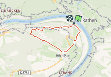

3,5 km | 4,4 km-effort


Tous les sentiers balisés d’Europe GUIDE+


Aplicación GPS de excursión GRATIS
 SityTrail
IGN / Institutos geográficos
SityTrail World
El mundo es suyo
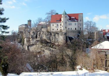
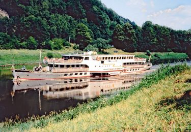
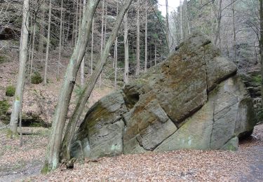
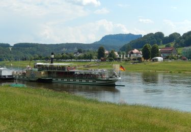
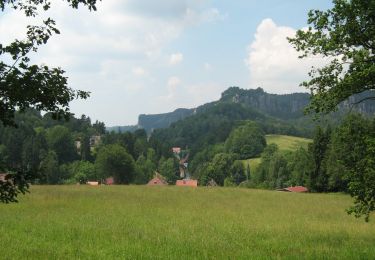
Ruta A pie de 5,2 km a descubrir en Sajonia, Sächsische Schweiz-Osterzgebirge, Rathen. Esta ruta ha sido propuesta por SityTrail - itinéraires balisés pédestres.
Symbol: Raute mit Tk14 als Text, schwarz
A pie
A pie
A pie
A pie
A pie

A pie
A pie

Carrera

Bici de montaña