


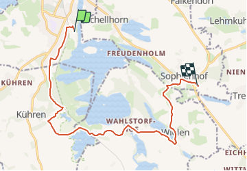

15,4 km | 17,8 km-effort


Tous les sentiers balisés d’Europe GUIDE+


Aplicación GPS de excursión GRATIS
 SityTrail
IGN / Institutos geográficos
SityTrail World
El mundo es suyo
Ruta A pie de 12,8 km a descubrir en Schleswig-Holstein, Plön, Preetz. Esta ruta ha sido propuesta por SityTrail - itinéraires balisés pédestres.
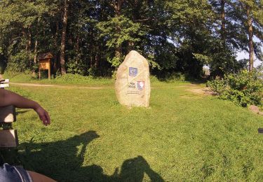
Trail created by Schusteracht e.V..
Symbol: Wanderer über liegender Acht

A pie
A pie
A pie
A pie
A pie
A pie
A pie
A pie