


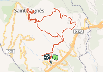

8,1 km | 14,4 km-effort

Usuario


Aplicación GPS de excursión GRATIS
 SityTrail
IGN / Institutos geográficos
SityTrail World
El mundo es suyo
Ruta Senderismo de 9,3 km a descubrir en Provenza-Alpes-Costa Azul, Alpes Marítimos, Sainte-Agnès. Esta ruta ha sido propuesta por GrouGary.
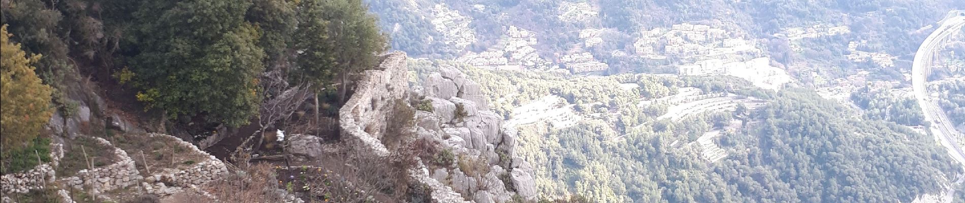
Sentier des collines en travaux momentanément. Belle boucle mais dommage pour le bruit de l'autoroute.
montée par sentier Pisa, retour sentier Vivaron


Senderismo

Senderismo

Senderismo
Senderismo

Senderismo

Senderismo

Senderismo
Senderismo

Senderismo