


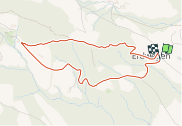

10 km | 16,3 km-effort

Tous les sentiers balisés d’Europe GUIDE+


Aplicación GPS de excursión GRATIS
 SityTrail
IGN / Institutos geográficos
SityTrail World
El mundo es suyo
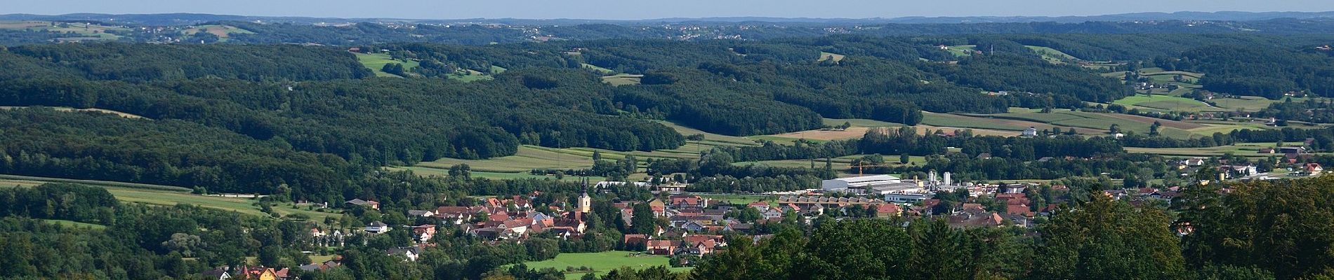
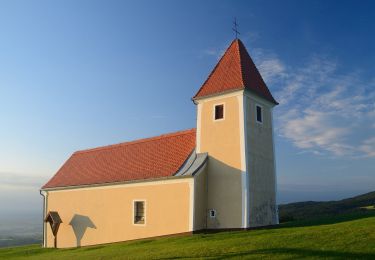
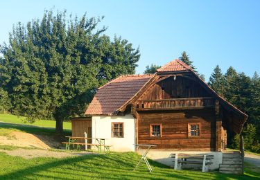
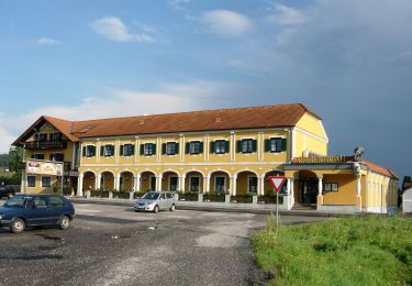
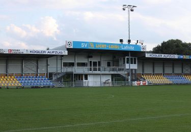
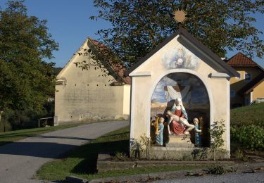
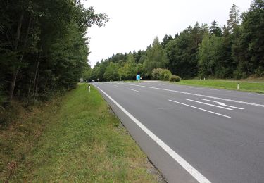
Ruta A pie de 4,6 km a descubrir en Estiria, Bezirk Hartberg-Fürstenfeld, Grafendorf bei Hartberg. Esta ruta ha sido propuesta por SityTrail - itinéraires balisés pédestres.
Trail created by ?.
https://wiki.openstreetmap.org/wiki/WikiProject_Austria/Wanderwege
Symbol: Gelber Kreis, grünes G3

A pie
A pie
A pie
A pie
A pie
A pie
A pie
A pie

A pie