


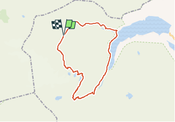

8,8 km | 23 km-effort

Tous les sentiers balisés d’Europe GUIDE+


Aplicación GPS de excursión GRATIS
 SityTrail
IGN / Institutos geográficos
SityTrail World
El mundo es suyo
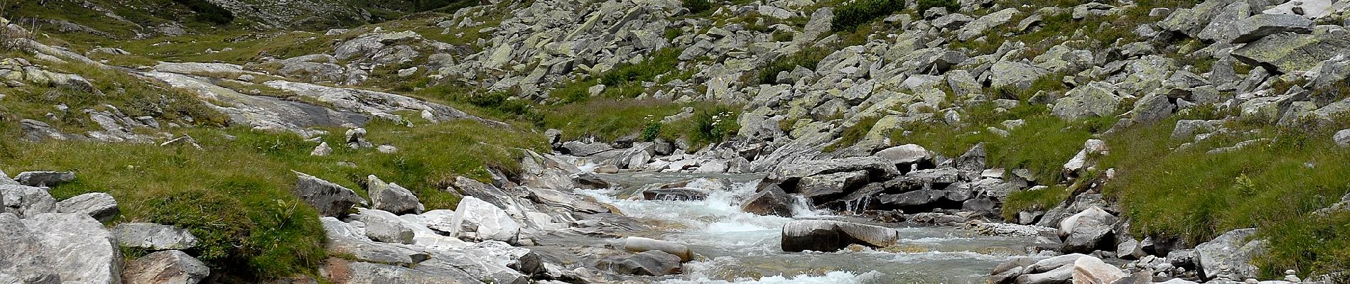
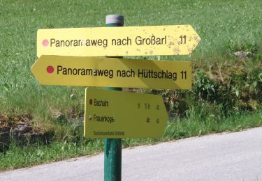
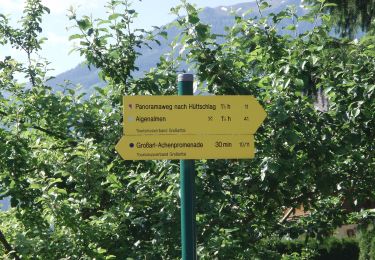
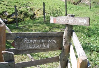
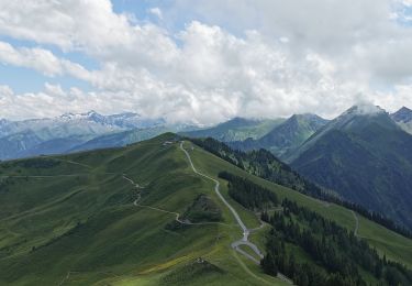
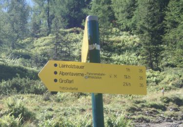
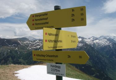
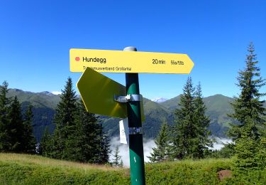
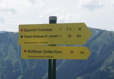
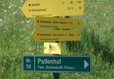
Ruta A pie de 14,6 km a descubrir en Carintia, Bezirk Spittal an der Drau, Malta. Esta ruta ha sido propuesta por SityTrail - itinéraires balisés pédestres.
Trail created by Nationalpark Hohe Tauern.


A pie
A pie
A pie
A pie
A pie
A pie
A pie
A pie
A pie