


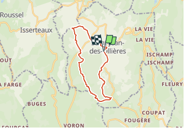

12,3 km | 17,1 km-effort

Tous les sentiers balisés d’Europe GUIDE+


Aplicación GPS de excursión GRATIS
 SityTrail
IGN / Institutos geográficos
SityTrail World
El mundo es suyo
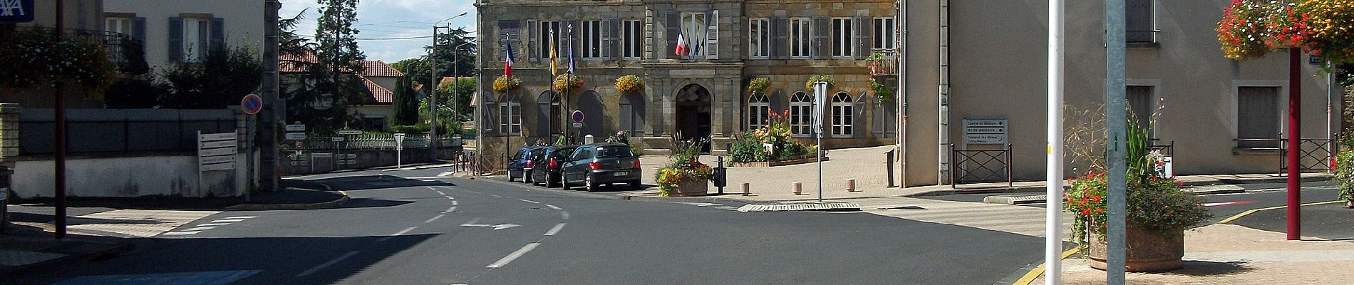
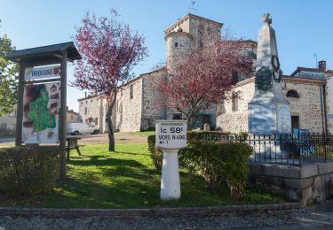
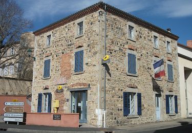
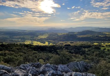
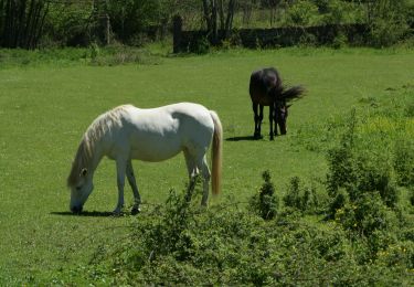
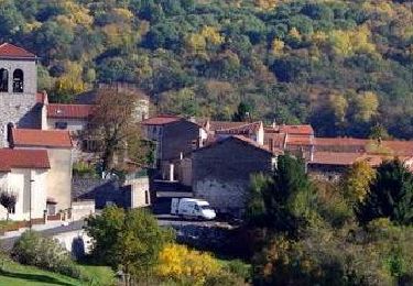
Ruta A pie de 11,7 km a descubrir en Auvergne-Rhône-Alpes, Puy-de-Dôme, Saint-Jean-des-Ollières. Esta ruta ha sido propuesta por SityTrail - itinéraires balisés pédestres.
Trail created by CD63.


Senderismo
![Excursión A pie Saint-Jean-des-Ollières - [Itinéraire] Le pic de la Garde - Photo](https://media.geolcdn.com/t/375/260/ext.jpg?maxdim=2&url=https%3A%2F%2Fstatic1.geolcdn.com%2Fsiteimages%2Fupload%2Ffiles%2F1545311037marcheuse_200dpi.jpg)
A pie
Senderismo
A pie
A pie
A pie
Senderismo
Senderismo
Senderismo