


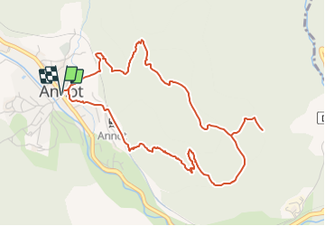

6,2 km | 11,3 km-effort

Tous les sentiers balisés d’Europe GUIDE+


Aplicación GPS de excursión GRATIS
 SityTrail
IGN / Institutos geográficos
SityTrail World
El mundo es suyo
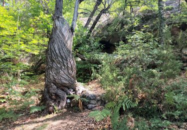
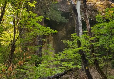
Ruta A pie de 5,9 km a descubrir en Provenza-Alpes-Costa Azul, Alpes de Alta Provenza, Annot. Esta ruta ha sido propuesta por SityTrail - itinéraires balisés pédestres.
Trail created by Département des Alpes-de-Haute-Provence.
Sitio web: https://www.rando-alpes-haute-provence.fr/randonnee-pedestre/gres-dannot/


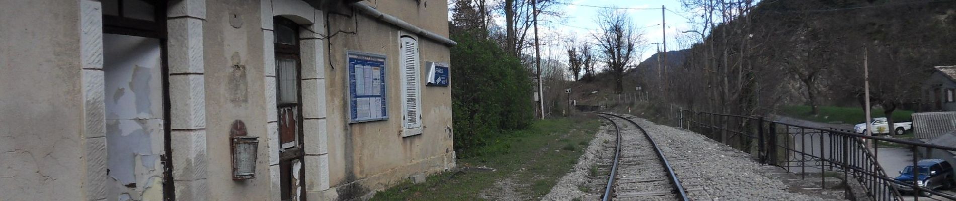
Senderismo

Senderismo
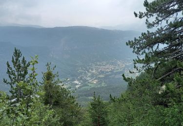
Senderismo

Senderismo

Senderismo

Senderismo
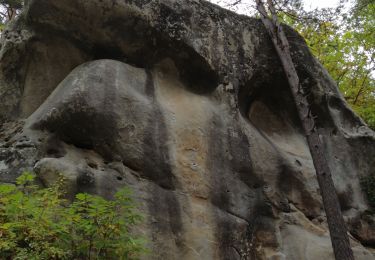
Senderismo
Senderismo
Senderismo