


4,6 km | 5,4 km-effort


Tous les sentiers balisés d’Europe GUIDE+


Aplicación GPS de excursión GRATIS
 SityTrail
IGN / Institutos geográficos
SityTrail World
El mundo es suyo
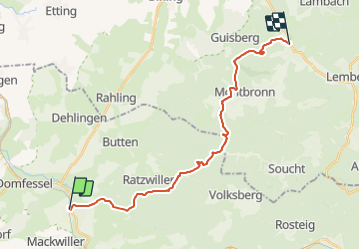
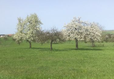
Ruta A pie de 21 km a descubrir en Gran Este, Bajo-Rin, Diemeringen. Esta ruta ha sido propuesta por SityTrail - itinéraires balisés pédestres.
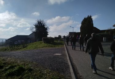
Sentiers circulaires à Soucht : Le départ se fait toujours à Soucht place de la République où se trouve un portique d'information ; les sentiers circulaires sont balisés dans les deux sens comme tous les sentiers du Club Vosgien. - sentier anneau bleu : il se situe au sud-ouest du village et présente de multiples…
Sitio web: https://souchtclubvosgien.wordpress.com/sentiers-et-circuits-vtt/


A pie

A pie
A pie
A pie

sport
Senderismo
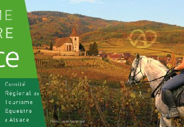
Paseo ecuestre
Senderismo
Senderismo