


7,7 km | 11,3 km-effort

Tous les sentiers balisés d’Europe GUIDE+


Aplicación GPS de excursión GRATIS
 SityTrail
IGN / Institutos geográficos
SityTrail World
El mundo es suyo
Ruta A pie de 14,1 km a descubrir en Piamonte, Cuneo, Pontechianale. Esta ruta ha sido propuesta por SityTrail - itinéraires balisés pédestres.
Sentiero Italia CAI 2019
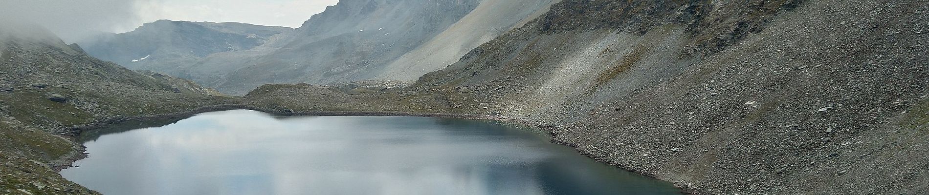
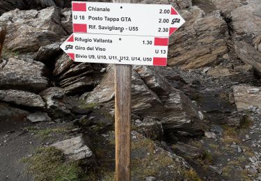
 Pontechianale, Borgata Maddalena - Rifugio Quintino Sella - Photo 1")
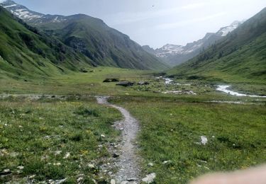
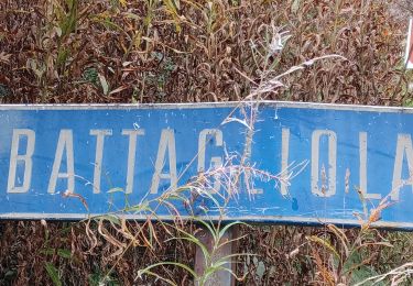
 Pontechianale, Borgata Maddalena - Rifugio Quintino Sella - Photo 2")
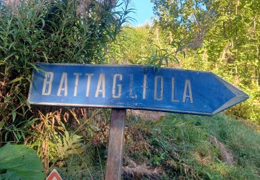
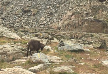
 Pontechianale, Borgata Maddalena - Rifugio Quintino Sella - Photo 3")
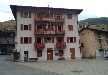
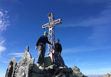
 Pontechianale, Borgata Maddalena - Rifugio Quintino Sella - Photo 4")
 Pontechianale, Borgata Maddalena - Rifugio Quintino Sella - Photo 5")
 Pontechianale, Borgata Maddalena - Rifugio Quintino Sella - Photo 6")
 Pontechianale, Borgata Maddalena - Rifugio Quintino Sella - Photo 7")
 Pontechianale, Borgata Maddalena - Rifugio Quintino Sella - Photo 8")
 Pontechianale, Borgata Maddalena - Rifugio Quintino Sella - Photo 9")
 Pontechianale, Borgata Maddalena - Rifugio Quintino Sella - Photo 10")
Senderismo
Senderismo
A pie
Senderismo
Senderismo

Senderismo
Senderismo
Senderismo
Senderismo