


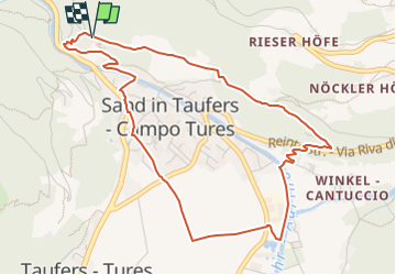

5,7 km | 11,1 km-effort

Tous les sentiers balisés d’Europe GUIDE+


Aplicación GPS de excursión GRATIS
 SityTrail
IGN / Institutos geográficos
SityTrail World
El mundo es suyo
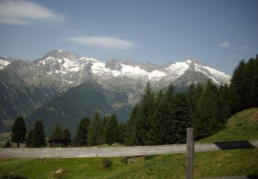
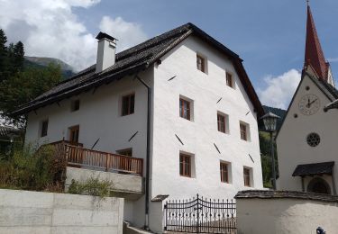
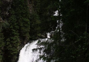
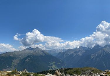
Ruta A pie de 5,3 km a descubrir en Trentino-Alto Adigio, Bolzano - Bozen, Sand in Taufers - Campo Tures. Esta ruta ha sido propuesta por SityTrail - itinéraires balisés pédestres.


A pie
A pie
A pie
A pie
A pie
A pie

A pie
A pie
A pie