


3,6 km | 4 km-effort

Tous les sentiers balisés d’Europe GUIDE+


Aplicación GPS de excursión GRATIS
 SityTrail
IGN / Institutos geográficos
SityTrail World
El mundo es suyo
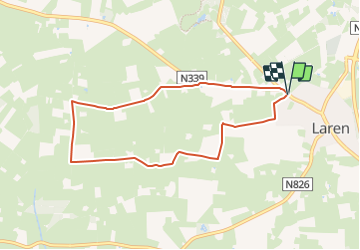
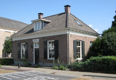
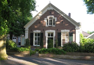
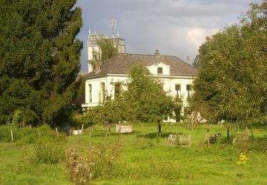
Ruta A pie de 6,6 km a descubrir en Güeldres, Desconocido, Lochem. Esta ruta ha sido propuesta por SityTrail - itinéraires balisés pédestres.
Trail created by Recreatieschap Achterhoek Liemers.
Sitio web: http://www.recreatieschap.nl/startpunten/top_de_zonnebloem.aspx


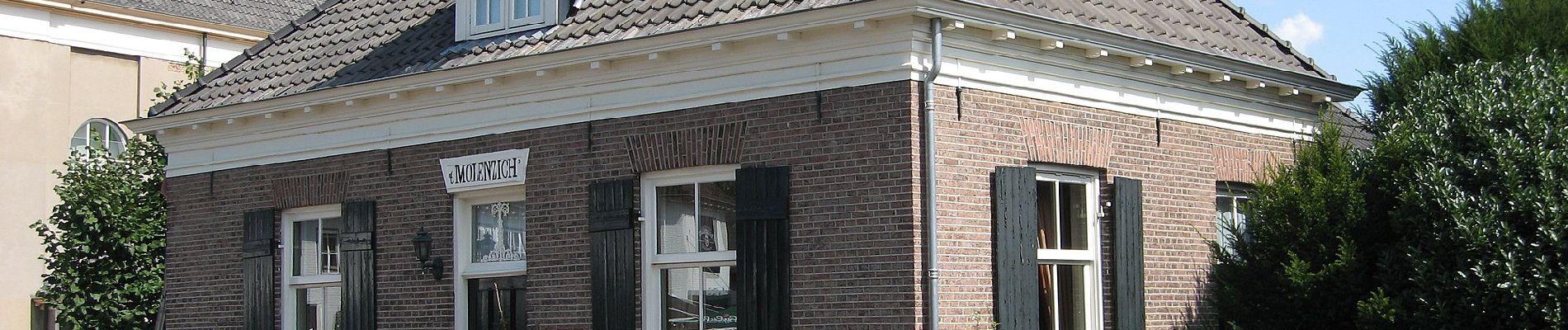
A pie
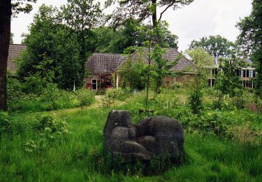
A pie
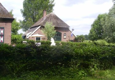
A pie
A pie
A pie
A pie
A pie
A pie
A pie