


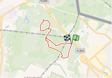

13 km | 15,3 km-effort

Tous les sentiers balisés d’Europe GUIDE+


Aplicación GPS de excursión GRATIS
 SityTrail
IGN / Institutos geográficos
SityTrail World
El mundo es suyo
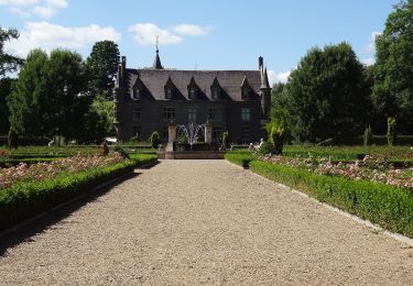
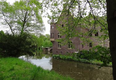
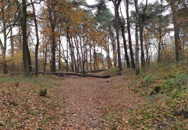
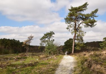
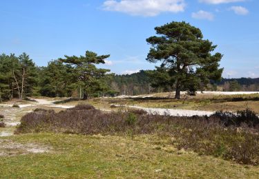
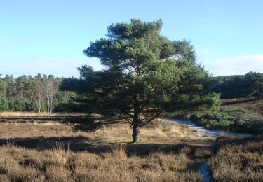
Ruta A pie de 5,5 km a descubrir en Limburgo, Desconocido, Landgraaf. Esta ruta ha sido propuesta por SityTrail - itinéraires balisés pédestres.
Trail created by Natuurmonumenten.
Symbol: Black pole with red bar just below top


Senderismo
Senderismo
A pie
A pie

A pie
A pie
A pie
A pie
A pie