


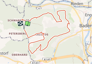

7,5 km | 9,8 km-effort

Tous les sentiers balisés d’Europe GUIDE+


Aplicación GPS de excursión GRATIS
 SityTrail
IGN / Institutos geográficos
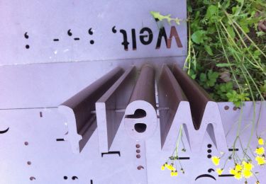
SityTrail World
El mundo es suyo
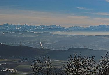
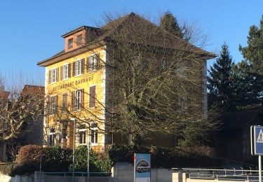
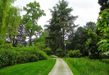
Ruta A pie de 11,2 km a descubrir en Argovia, Bezirk Baden, Gebenstorf. Esta ruta ha sido propuesta por SityTrail - itinéraires balisés pédestres.
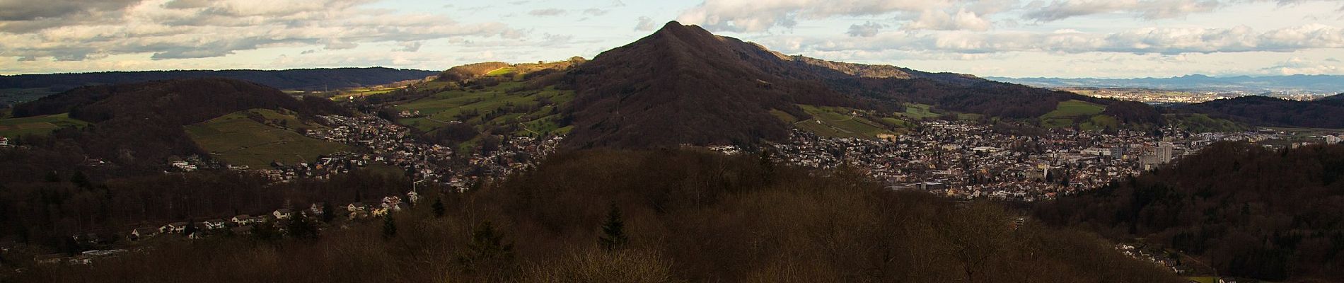
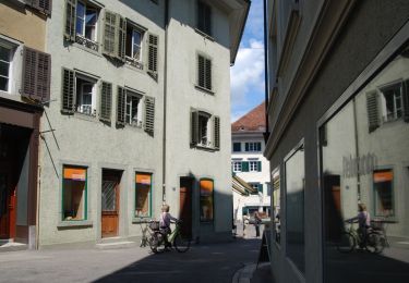
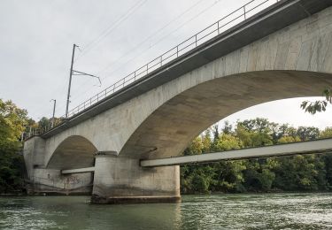
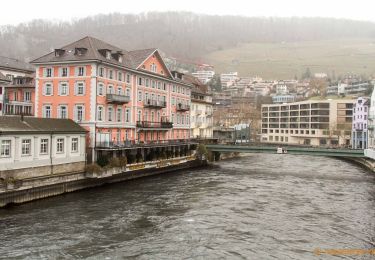
Welcome to the culture and spa town! Baden is ready and presents itself for the upcoming opening of the FORTYSEVEN wellness therme with a new appearance and refreshing ideas.Let yourself be carried away and discover the cultural highlights in Baden. Here you are at the source of culinary diversity and lived hospitality. With us, you will reach your own personal feel-good temperature of adventure, relaxation and inspiration.Immerse yourself in the cultural and spa town of Baden.
Sitio web: https://your.baden.ch/en/experience/activities/sport-and-exercise/running-and-walking-trail


A pie
A pie
A pie
A pie
A pie
A pie
A pie
A pie
A pie