![](/images/other/stat-length.png)
![Excursión A pie Rüdlingen - Tössegg-Klettgau-Weg - Etappe 2 (Rüdlingen - Hallau ) - Photo](https://media.geolcdn.com/t/1900/400/ext.pjpeg?maxdim=2&url=https%3A%2F%2Fmedia.geolcdn.com%2Ff%2F6ca1e1f6-cda8-4787-99b5-086abafc3f73.jpeg)
Tössegg-Klettgau-Weg - Etappe 2 (Rüdlingen - Hallau )
SityTrail - itinéraires balisés pédestres
Tous les sentiers balisés d’Europe PRO
![Longitud](/images/other/stat-length.png)
Longitud
18,9 km
![Altitud máxima](https://static1.geolcdn.com/siteimages/upload/files/1508320355ic_sort_altitude_max_24dp.png)
Altitud máxima
603 m
![Desnivel positivo](https://static1.geolcdn.com/siteimages/upload/files/1508320355ic_sort_den_pos_24dp.png)
Desnivel positivo
455 m
![Km-Effort](/images/other/stat-length.png)
Km-Effort
25 km
![Altitud mínima](https://static1.geolcdn.com/siteimages/upload/files/1508320355ic_sort_altitude_min_24dp.png)
Altitud mínima
367 m
![Desnivel negativo](https://static1.geolcdn.com/siteimages/upload/files/1508320355ic_sort_den_neg_24dp.png)
Desnivel negativo
415 m
![Boucle](https://static1.geolcdn.com/siteimages/upload/files/16400158638029165_repeat_loop_refresh_sync_direction_icon.png)
Boucle
No
Baliza
Fecha de creación :
2022-02-14 09:06:21.316
Última modificación :
2022-02-14 09:06:21.316
![A pie](https://static1.geolcdn.com/sitytour/trail-icons/100.png)
5h38
Dificultad : Medio
![Escanee este código QR para abrir la excursión en la aplicación SityTrail](https://capi.geolives.com/qq0zvz2zws4bq2lad0pu/sitytour/trails/3107500/qr.png?size=200)
Aplicación GPS de excursión GRATIS
A propósito
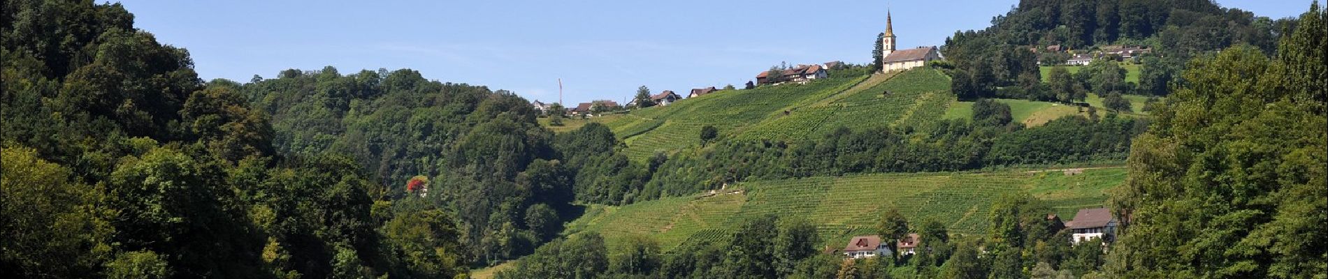
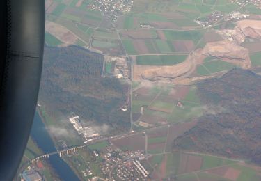
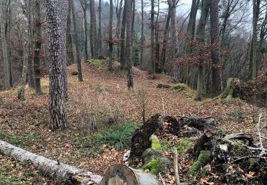
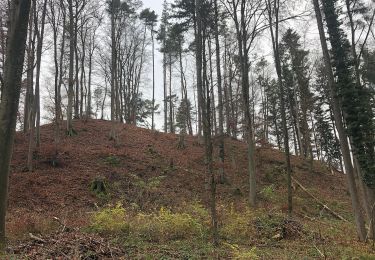
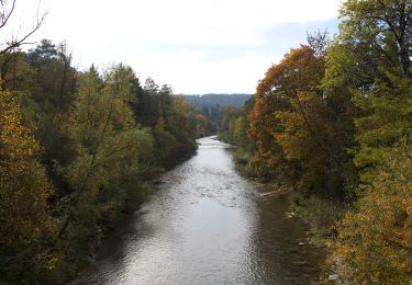
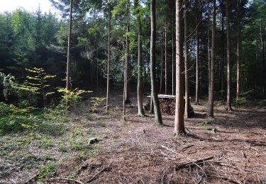
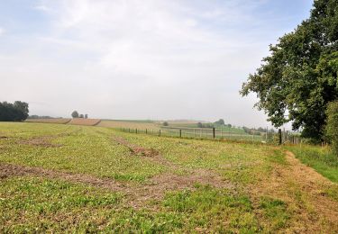
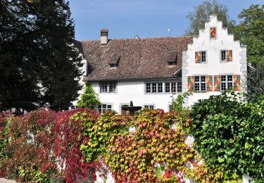
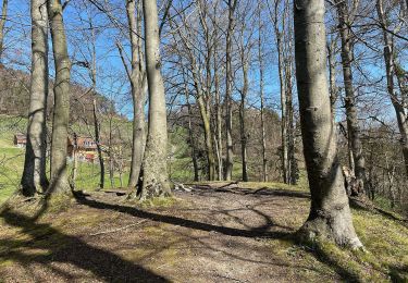
Ruta A pie de 18,9 km a descubrir en Escafusa, Desconocido, Rüdlingen. Esta ruta ha sido propuesta por SityTrail - itinéraires balisés pédestres.
Descripción
Trail created by Wanderland Schweiz.
Symbol: Weinrebe zusammen mit schwarzer Schrift Tössegg Klettgau Weg in grünem Quadrat auf gelbem Grund
Localización
País:
Switzerland
Región :
Escafusa
Departamento/provincia :
Desconocido
Municipio :
Rüdlingen
Localidad:
Unknown
Salida:(Dec)
Salida:(UTM)
467813 ; 5269577 (32T) N.
Comentarios
Excursiones cerca
![Excursión A pie Buch am Irchel - Heerenbänkli Irchelturm - Rorbas - Photo](https://media.geolcdn.com/t/375/260/ext.jpg?maxdim=2&url=https%3A%2F%2Fmedia.geolcdn.com%2Ff%2F11e1e3cc-1174-40fb-907f-6a162f97c7fd.jpeg)
![A pie A pie](https://static1.geolcdn.com/sitytour/trail-icons/100.png)
Heerenbänkli Irchelturm - Rorbas
A pie
Fácil
Buch am Irchel,
Zúrich,
Bezirk Andelfingen,
Switzerland
![](/images/other/stat-length.png)
6,9 km | 8,9 km-effort
2h 1min
![](https://static1.geolcdn.com/siteimages/upload/files/16400158638029165_repeat_loop_refresh_sync_direction_icon.png)
No
![Excursión A pie Buch am Irchel - Ober Buch am Irchel - Irchel Hochwacht - Photo](https://media.geolcdn.com/t/375/260/ext.jpg?maxdim=2&url=https%3A%2F%2Fmedia.geolcdn.com%2Ff%2F9fd9ff8b-ba9e-4532-b0c3-eaacd4900422.jpeg)
![A pie A pie](https://static1.geolcdn.com/sitytour/trail-icons/100.png)
Ober Buch am Irchel - Irchel Hochwacht
A pie
Fácil
Buch am Irchel,
Zúrich,
Bezirk Andelfingen,
Switzerland
![](/images/other/stat-length.png)
6,9 km | 9,6 km-effort
2h 11min
![](https://static1.geolcdn.com/siteimages/upload/files/16400158638029165_repeat_loop_refresh_sync_direction_icon.png)
No
![Excursión A pie Berg am Irchel - Irchel Hochwacht - Winterthur - Photo](https://media.geolcdn.com/t/375/260/ext.jpg?maxdim=2&url=https%3A%2F%2Fmedia.geolcdn.com%2Ff%2F9021b627-b640-4c62-a56f-c97534999414.jpeg)
![A pie A pie](https://static1.geolcdn.com/sitytour/trail-icons/100.png)
Irchel Hochwacht - Winterthur
A pie
Medio
Berg am Irchel,
Zúrich,
Bezirk Andelfingen,
Switzerland
![](/images/other/stat-length.png)
16,3 km | 20 km-effort
4h 35min
![](https://static1.geolcdn.com/siteimages/upload/files/16400158638029165_repeat_loop_refresh_sync_direction_icon.png)
No
![Excursión A pie Volken - Volken - Neftenbach - Photo](https://media.geolcdn.com/t/375/260/ext.jpg?maxdim=2&url=https%3A%2F%2Fmedia.geolcdn.com%2Ff%2F352cd752-c0e9-4052-8e7e-4eb5bfee977a.jpeg)
![A pie A pie](https://static1.geolcdn.com/sitytour/trail-icons/100.png)
Volken - Neftenbach
A pie
Fácil
Volken,
Zúrich,
Bezirk Andelfingen,
Switzerland
![](/images/other/stat-length.png)
8,2 km | 11,2 km-effort
2h 32min
![](https://static1.geolcdn.com/siteimages/upload/files/16400158638029165_repeat_loop_refresh_sync_direction_icon.png)
No
![Excursión A pie Flaach - Flaach - Irchel Hochwacht - Photo](https://media.geolcdn.com/t/375/260/ext.jpg?maxdim=2&url=https%3A%2F%2Fmedia.geolcdn.com%2Ff%2F9fd9ff8b-ba9e-4532-b0c3-eaacd4900422.jpeg)
![A pie A pie](https://static1.geolcdn.com/sitytour/trail-icons/100.png)
Flaach - Irchel Hochwacht
A pie
Fácil
Flaach,
Zúrich,
Bezirk Andelfingen,
Switzerland
![](/images/other/stat-length.png)
5,6 km | 9,1 km-effort
2h 3min
![](https://static1.geolcdn.com/siteimages/upload/files/16400158638029165_repeat_loop_refresh_sync_direction_icon.png)
No
![Excursión A pie Flaach - Flaach - Henggart Bahnhof Ost - Photo](https://media.geolcdn.com/t/375/260/ext.jpg?maxdim=2&url=https%3A%2F%2Fmedia.geolcdn.com%2Ff%2F287b6c1f-e6df-4b6d-b125-fd618586b5f8.jpeg)
![A pie A pie](https://static1.geolcdn.com/sitytour/trail-icons/100.png)
Flaach - Henggart Bahnhof Ost
A pie
Fácil
Flaach,
Zúrich,
Bezirk Andelfingen,
Switzerland
![](/images/other/stat-length.png)
10,1 km | 13,8 km-effort
3h 8min
![](https://static1.geolcdn.com/siteimages/upload/files/16400158638029165_repeat_loop_refresh_sync_direction_icon.png)
No
![Excursión A pie Volken - Volken - Andelfingen - Photo](https://media.geolcdn.com/t/375/260/ext.jpg?maxdim=2&url=https%3A%2F%2Fmedia.geolcdn.com%2Ff%2F6aaf71bc-1753-4b14-aaa3-22d1c45d94ae.jpeg)
![A pie A pie](https://static1.geolcdn.com/sitytour/trail-icons/100.png)
Volken - Andelfingen
A pie
Fácil
Volken,
Zúrich,
Bezirk Andelfingen,
Switzerland
![](/images/other/stat-length.png)
5,5 km | 7,4 km-effort
1h 40min
![](https://static1.geolcdn.com/siteimages/upload/files/16400158638029165_repeat_loop_refresh_sync_direction_icon.png)
No
![Excursión A pie Flaach - Flaach - Heerenbänkli Irchelturm - Photo](https://media.geolcdn.com/t/375/260/ext.jpg?maxdim=2&url=https%3A%2F%2Fmedia.geolcdn.com%2Ff%2F764f42e4-5e5e-49e3-85bd-341ee74d099f.jpeg)
![A pie A pie](https://static1.geolcdn.com/sitytour/trail-icons/100.png)
Flaach - Heerenbänkli Irchelturm
A pie
Fácil
Flaach,
Zúrich,
Bezirk Andelfingen,
Switzerland
![](/images/other/stat-length.png)
5,4 km | 8,5 km-effort
1h 56min
![](https://static1.geolcdn.com/siteimages/upload/files/16400158638029165_repeat_loop_refresh_sync_direction_icon.png)
No
![Excursión A pie Berg am Irchel - Schartenflue - Oberhueb - Photo](https://media.geolcdn.com/t/375/260/ext.jpg?maxdim=2&url=https%3A%2F%2Fmedia.geolcdn.com%2Ff%2F745d5156-2d7e-46fd-aced-69d365bbbd09.jpeg)
![A pie A pie](https://static1.geolcdn.com/sitytour/trail-icons/100.png)
Schartenflue - Oberhueb
A pie
Fácil
Berg am Irchel,
Zúrich,
Bezirk Andelfingen,
Switzerland
![](/images/other/stat-length.png)
4,5 km | 5,8 km-effort
1h 18min
![](https://static1.geolcdn.com/siteimages/upload/files/16400158638029165_repeat_loop_refresh_sync_direction_icon.png)
No