


3,2 km | 6,2 km-effort

Tous les sentiers balisés d’Europe GUIDE+


Aplicación GPS de excursión GRATIS
 SityTrail
IGN / Institutos geográficos
SityTrail World
El mundo es suyo
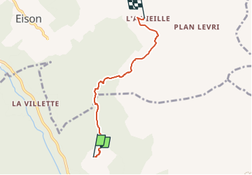
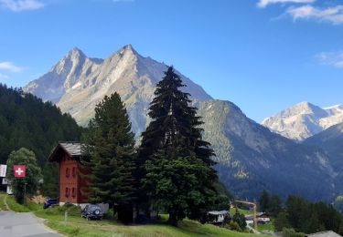
Ruta A pie de 4,2 km a descubrir en Vallés, Hérens, Evolène. Esta ruta ha sido propuesta por SityTrail - itinéraires balisés pédestres.
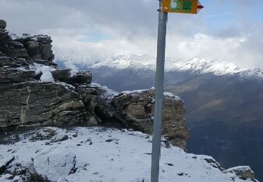
Volvovron - L'A Vieille
Symbol: gelber Diamant


A pie
A pie

A pie

A pie
Senderismo
Senderismo
Marcha nórdica

Otra actividad

Senderismo