


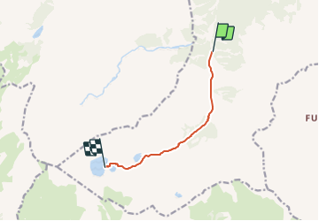

9,6 km | 17,5 km-effort


Tous les sentiers balisés d’Europe GUIDE+


Aplicación GPS de excursión GRATIS
 SityTrail
IGN / Institutos geográficos
SityTrail World
El mundo es suyo
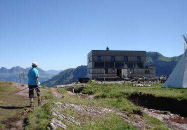
Ruta A pie de 6 km a descubrir en San Galo, Wahlkreis Sarganserland, Quarten. Esta ruta ha sido propuesta por SityTrail - itinéraires balisés pédestres.
Murgsee-Merlen
Symbol: weiss-rot-weiss


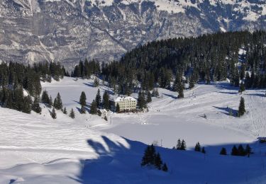
A pie

A pie
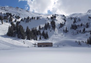
A pie
A pie
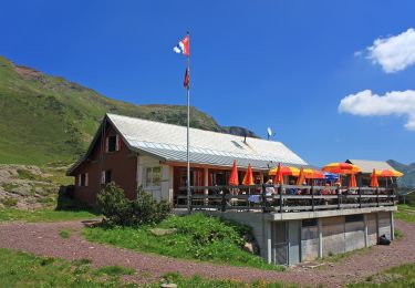
A pie
A pie

A pie

A pie
Otra actividad