


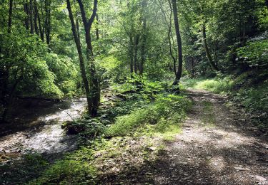
4,8 km | 6,7 km-effort

Tous les sentiers balisés d’Europe GUIDE+


Aplicación GPS de excursión GRATIS
 SityTrail
IGN / Institutos geográficos
SityTrail World
El mundo es suyo
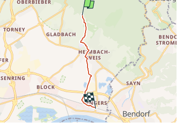
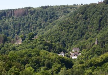
Ruta A pie de 5,8 km a descubrir en Renania-Palatinado, Landkreis Neuwied, Neuwied. Esta ruta ha sido propuesta por SityTrail - itinéraires balisés pédestres.
Trail created by Romantischer Rhein Tourismus GmbH.
Symbol: Stilisiertes weißes R auf gelbem Grund


A pie
A pie
A pie
A pie
A pie
![Excursión A pie Rengsdorf - Rheinsteig - Etappe 7 [Rengsdorf - Sayn] - Photo](https://media.geolcdn.com/t/375/260/ext.jpg?maxdim=2&url=https%3A%2F%2Fstatic1.geolcdn.com%2Fsiteimages%2Fupload%2Ffiles%2F1545311037marcheuse_200dpi.jpg)
A pie
A pie