


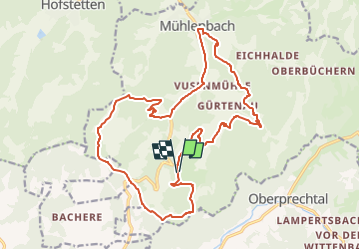

18,7 km | 26 km-effort

Tous les sentiers balisés d’Europe GUIDE+


Aplicación GPS de excursión GRATIS
 SityTrail
IGN / Institutos geográficos
SityTrail World
El mundo es suyo
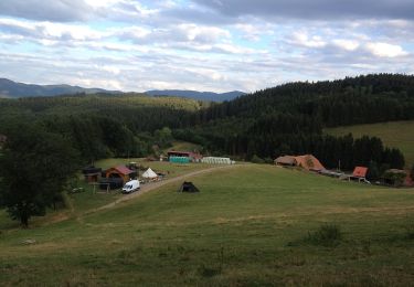
Ruta A pie de 20 km a descubrir en Baden-Wurtemberg, Ortenaukreis, Mühlenbach. Esta ruta ha sido propuesta por SityTrail - itinéraires balisés pédestres.
Symbol: dunkelblauer Text auf weißem Grund: "Panoramaweg Mühlenbach"

A pie
Senderismo
A pie

A pie
A pie
A pie

Bici de montaña