


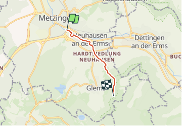

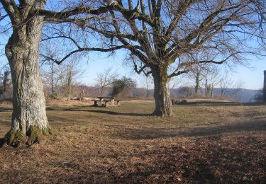
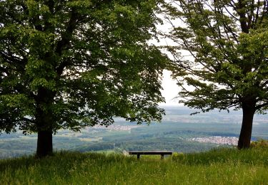
10 km | 13,6 km-effort

Tous les sentiers balisés d’Europe GUIDE+


Aplicación GPS de excursión GRATIS
 SityTrail
IGN / Institutos geográficos
SityTrail World
El mundo es suyo
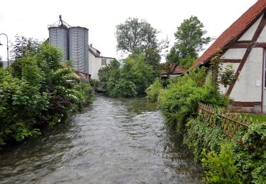
Ruta A pie de 5 km a descubrir en Baden-Wurtemberg, Landkreis Reutlingen, Metzingen. Esta ruta ha sido propuesta por SityTrail - itinéraires balisés pédestres.
Trail created by Schwäbischer Albverein.
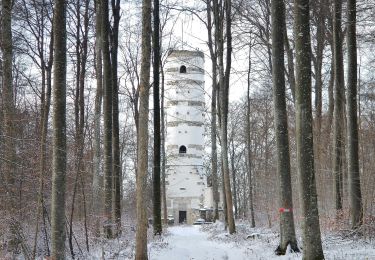
vervollständige die Relation bis zum Grüner Fels - St.Johann
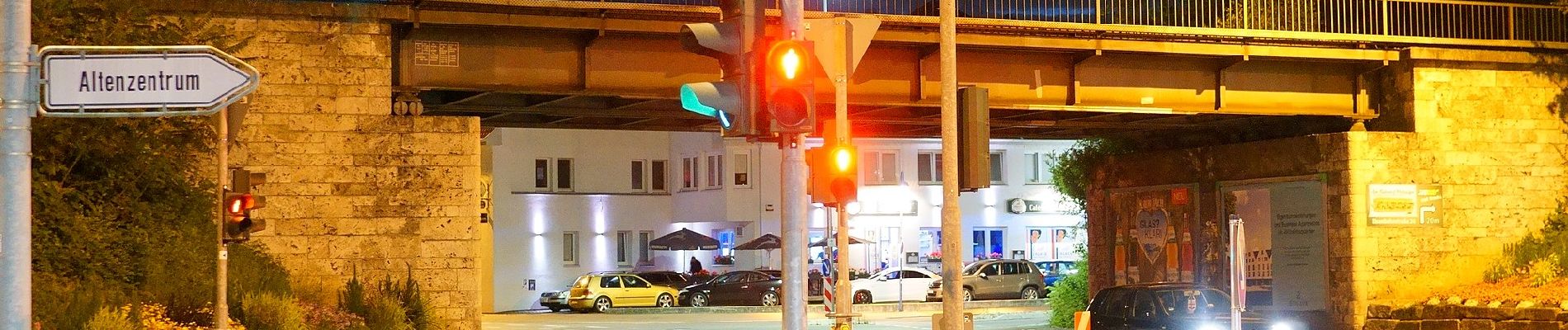
Symbol: blaues Dreieck auf weißem Grund


A pie
A pie
A pie
A pie

A pie
A pie

A pie
A pie
A pie