


4,8 km | 6,9 km-effort


Tous les sentiers balisés d’Europe GUIDE+


Aplicación GPS de excursión GRATIS
 SityTrail
IGN / Institutos geográficos
SityTrail World
El mundo es suyo
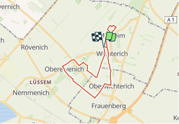
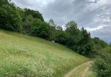
Ruta A pie de 12,7 km a descubrir en Renania del Norte-Westfalia, Kreis Euskirchen, Zülpich. Esta ruta ha sido propuesta por SityTrail - itinéraires balisés pédestres.
Trail created by Nordeifel Tourismus GmbH.
Symbol: quadratisches Logo oben blaue Fläche (Himmel) unten grüne Fläche (Berg/Landschaft), unten bis nach oben auf dem Grünen geschlängelt weiße Linie (Weg), oben links in weißer Schrift „EifelSchleifen“
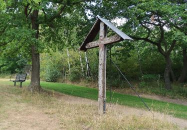
A pie
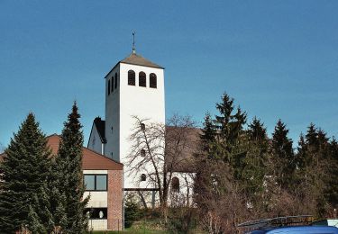
A pie
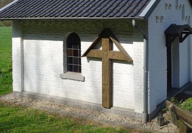
A pie
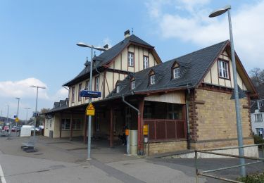
A pie
A pie
A pie
A pie
A pie
A pie