


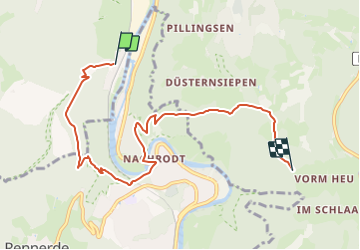

16,6 km | 24 km-effort

Tous les sentiers balisés d’Europe GUIDE+


Aplicación GPS de excursión GRATIS
 SityTrail
IGN / Institutos geográficos
SityTrail World
El mundo es suyo
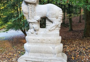
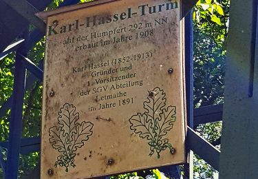
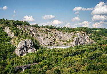
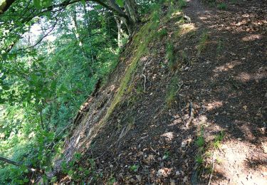
Ruta A pie de 6,8 km a descubrir en Renania del Norte-Westfalia, Märkischer Kreis, Iserlohn. Esta ruta ha sido propuesta por SityTrail - itinéraires balisés pédestres.
Trail created by Sauerländischer Gebirgsverein.


![Excursión A pie Altena - [-] Oberhalb der Nette - Photo](https://media.geolcdn.com/t/375/260/19ece288-5282-46fa-9081-4f184482635d.jpeg&format=jpg&maxdim=2)
A pie
A pie
A pie
A pie
A pie
A pie
A pie
A pie
A pie